What is recorded here
According to Westropp (1904-5) 'a ruined church' in this townland is depicted on the Down Survey map. No church is shown in this townland on any edition of the OS map so that its exact location is no longer known (see Seoight 2000, 348). Cross referenced with LI045-103----.
Compiled by: Denis Power
Date of upload: 29 August 2012
The monument record does not grant public access. Check the route and ask the landowner before entering private land.
- What survives
- Recorded monument
Places near here
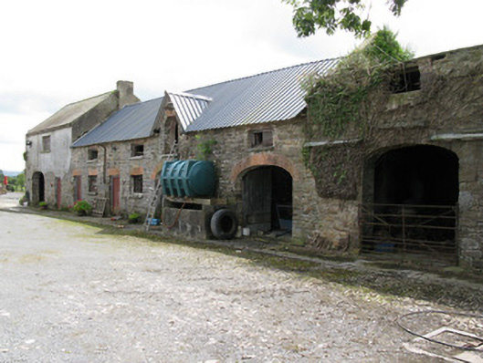 Drew's Courtfarmyard complex, stables · 1070 yd
 Old Grave YardChildren's burial ground · 1441 yd
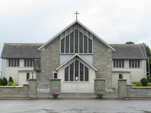 Saint Michael's Catholic Churchchurch/chapel · 1502 yd
 Gobnet's FortArchaeological place · 1.1 mi
 Saint Derivla's WellSpring · 1.3 mi
 Our Lady's WellSpring · 2.6 mi
 TumulusCastle, motte · 3.2 mi
 Bawn in CregganeBawn · 3.6 mi
 Holy Cross CemeteryGraveyard · 5.0 mi
 KnockfeerinaMountain / peak · 5.7 mi
 National Co-op MuseumMuseum · 6.9 mi
 Battle of LiscarrollMajor battlefield · 9.4 mi