What is recorded here
Mullaghglass church and graveyard have stood in Latt since the sixteenth century, marking a place where people gathered to pray and laid their dead beneath open sky. The name still belongs to the land, even when the building faded from memory. Any person who walked that ground left a shadow behind, and the shadow is why the place remains visible instead of forgotten.
The official Northern Ireland record identifies this as CHURCH & GRAVEYARD: MULLAGHGLASS. Recorded period: C16TH. The official map point was placed at the centre of the recorded archaeological site from the source map reference.
The monument record does not grant public access. Check the route and ask the landowner before entering private land.
- What survives
- Recorded monument
Places near here
_-_geograph.org.uk_-_1421059.jpg?width=1280) Steenson's BridgeBridge · 1684 yd
Steenson's BridgeBridge · 1684 yd Craigmore ViaductViaduct · 1703 yd
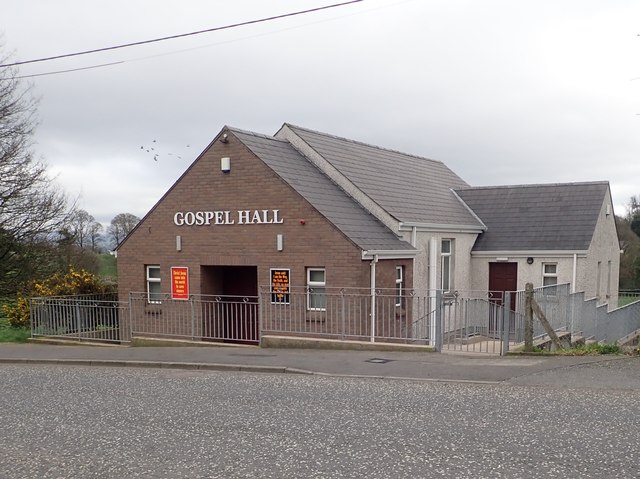 BessbrookVisitor information · 1.1 mi
 War MemorialMonument · 1.3 mi
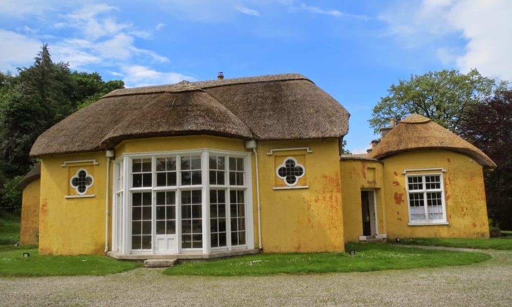 ENCLOSURE in Derry MoreENCLOSURE · 1.8 mi
 Linenhall ArchMonument · 2.2 mi
 Newry CanalVisitor information · 2.3 mi
 Newry CenotaphMemorial · 2.4 mi
 1971 Newry killingsmassacre · 2.5 mi
 Newry and Mourne MuseumMuseum · 2.7 mi
 Bagenal's CastleCastle · 2.7 mi
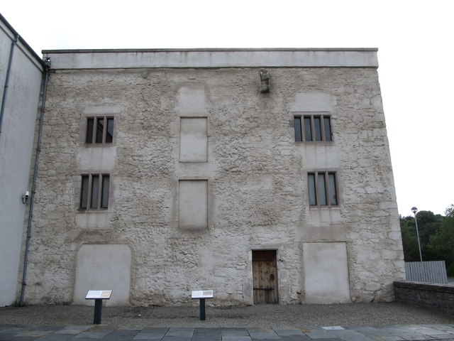 TOWER-HOUSE: BAGENAL'S CASTLE in NewryTOWER-HOUSE: BAGENAL'S CASTLE · 2.8 mi