What is recorded here
Thirty-one metres of packed earth and forgotten stone circle the grassy hollow where the mound still stands. The bank rises highest at the south, while broken revetment gleams from the north through the east. A dark passage cuts northwest toward the centre, inviting whoever dares to walk beneath the fairy fort.
In undulating grassland. Circular rath (D 31m), in fair condition, defined by a bank best preserved at S. Traces of stone revetment are visible from N through E to SSE. A small circular mound occupies the centre of the interior, to NW of which is a probable Man-made underground passage (GA098-075001-)
The above description is derived from the published 'Archaeological Inventory of County Galway Vol. II - North Galway'. Compiled by Olive Alcock, Kathy de hÓra and Paul Gosling (Dublin: Stationery Office, 1999).
Date of upload: 05 August 2010
The monument record does not grant public access. Check the route and ask the landowner before entering private land.
- What survives
- Recorded monument
Places near here
 Man-made underground passage in ChelseaMan-made underground passage · 8 yd
 TuckmillMill, fulling · 763 yd
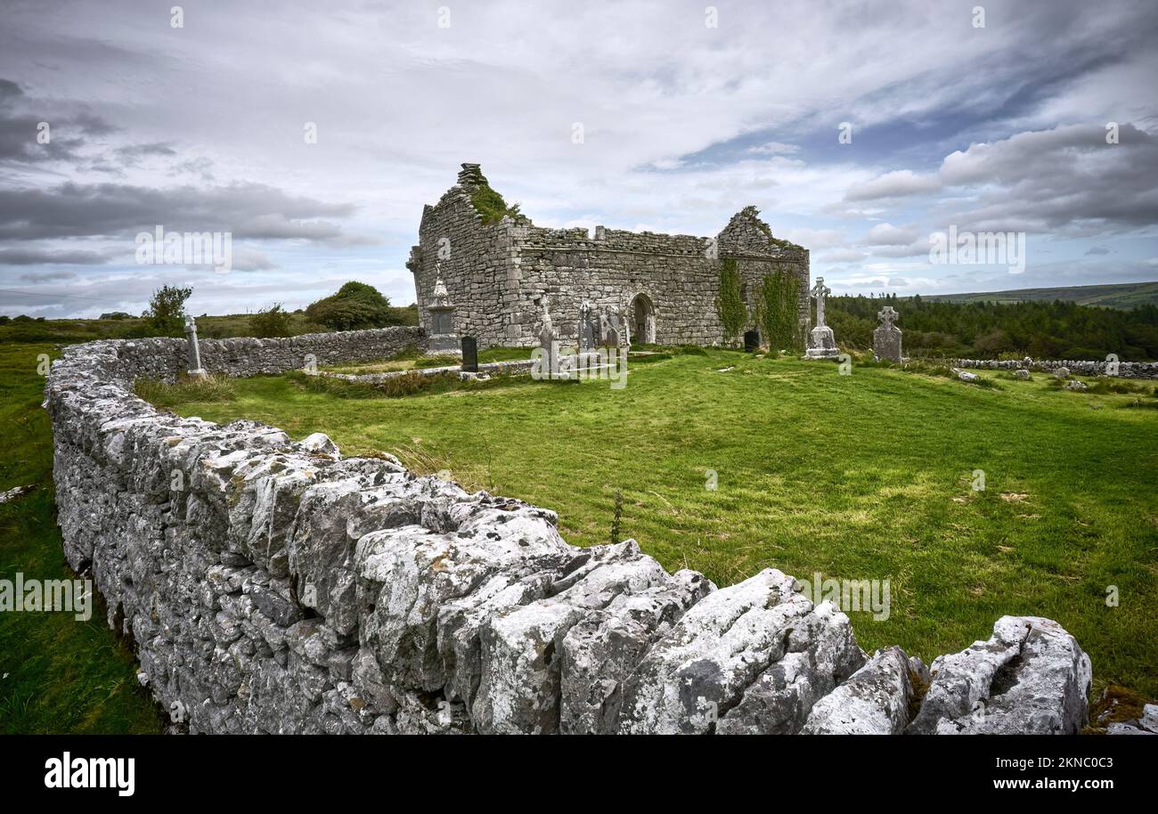 Mass-rock in Lissacullaun (kilconnell By.)Mass-rock · 807 yd
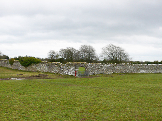 Ballydonnellan Castlewalled garden · 1044 yd
 Park CastleCastle, hall-house · 2.8 mi
 Bawn in Cooltymurraghy (clonmacnowen By.)Bawn · 3.4 mi
 Dartfield Horse MuseumHeritage attraction · 4.1 mi
 Battle of AughrimMajor battlefield · 4.4 mi
 The bloody HollowHeritage attraction · 4.5 mi
 Battle of Aughrim Interpretative CentreMuseum · 4.5 mi
 Oak WoodWood · 4.8 mi
 Urraghry HillMountain / peak · 5.6 mi