What is recorded here
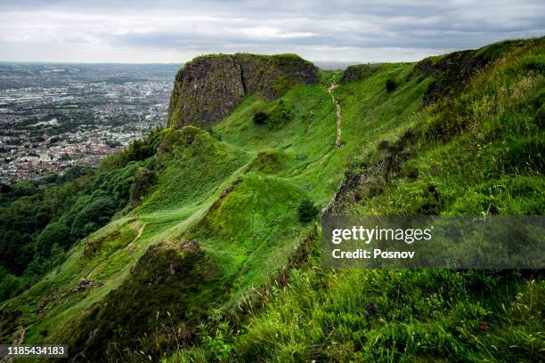
'Cave hill' marked on 1909 'OS 6-inch' map. Discovered when plough displaced a roof lintel. Section of drystone built passage (L 3.7m, Wth 1.4m, max H 1.5m) with lintelled roof running in a W-E direction exposed. W end terminates in a curved chamber but there is no differentiation betweens its max. Wth and that of the passage. E end is blocked by collapsed material, not clear what direction the passage takes at E but it may turn to the N.
Date of upload: 19 August 2010
Compiled by: Claire Breen
Add the human story, a picture, a first-hand message or a missing place.
Earn 5 points after the picture is checked and accepted.
Add a pictureAdd its storyTalk or ask a questionAdd a new placeThe monument record does not grant public access. Check the route and ask the landowner before entering private land.
Conversation about this place
Questions and messages sit beneath the source record. They are checked before appearing.
No questions or messages yet.
Ask a question or join the conversation