What is recorded here
Two hundred metres southeast of a known ringfort, a forgotten rath waits beneath dense trees. Its shallow bank and buried ditch suggest human hands shaped the earth before forgetting took it back. The fort may have housed a family, a hermit or a small trading post, but the green has consumed the answer.
Some 200m SE of a ringfort (GA061-032----) Poorly preserved subcircular rath (E-W 40m, N-S 35m) defined by a bank and external fosse. A field boundary overlies the fosse from ESE through S to SW. The interior is densely planted with trees.
The above description is derived from the published 'Archaeological Inventory of County Galway Vol. II - North Galway'. Compiled by Olive Alcock, Kathy de hÓra and Paul Gosling (Dublin: Stationery Office, 1999).
Date of upload: 05 August 2010
The monument record does not grant public access. Check the route and ask the landowner before entering private land.
- What survives
- Recorded monument
Places near here
 Castlegarfarmyard complex · 430 yd
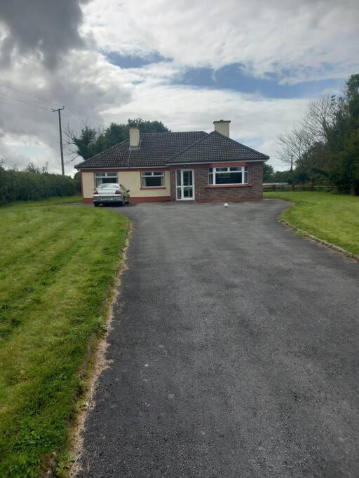 Country house in Castlegar EastCountry house · 491 yd
 IndicatedEnclosure · 609 yd
 LisnarnooFairy fort / ringfort · 1170 yd
 LismoneyForest · 1473 yd
 European ashEuropean ash · 2.5 mi
 Killure Castle (in ruins)Castle, tower house · 3.0 mi
 Clonbrock CastleCastle, tower house · 3.3 mi
 Clooncoran IslandIsland · 3.4 mi
 Inch IslandIsland · 3.9 mi
 Kilconnell AbbeyHeritage attraction · 6.5 mi
 Battle of Aughrim Interpretative CentreMuseum · 7.2 mi