What is recorded here
The official Northern Ireland record identifies this as CASHEL OR POSSIBLE RING CAIRN. Recorded period: E.CHRIST.. Recorded protection: Scheduled. The official map point was placed at the centre of the recorded archaeological site from the source map reference.
Possible ring cairn, dating to the Early Christian period. Its scheduled protection indicates archaeological importance, though specific details on function or wider significance are limited.
The monument record does not grant public access. Check the route and ask the landowner before entering private land.
- What survives
- Recorded monument
Places near here
 CullentraghMountain / peak · 37 yd
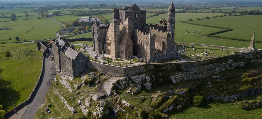 CashelArchaeological place · 516 yd
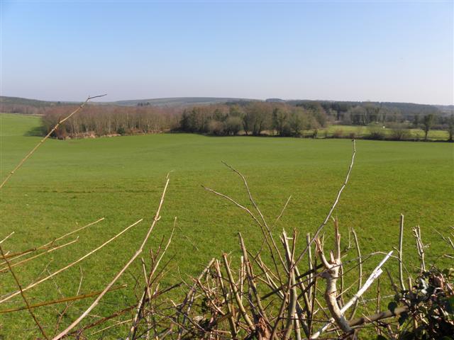 IndicatedPromontory fort, inland · 794 yd
 Marlbank ViewpointViewpoint · 971 yd
 Legnaveagh SinkholeCave · 1019 yd
 Boulder GraveyardArchaeological place · 1242 yd
 Cavan Burren ParkForest · 1545 yd
 BurrenMountain / peak · 1553 yd
 Dolines/SinkholesCave · 1573 yd
 Cavan BurrenHeritage attraction · 1599 yd
 Crannog IslandWood · 1.2 mi
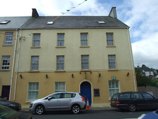 Olive Grovehouse · 1.3 mi