What is recorded here
On the N bank of a deepened stream which marks the boundary between cut-away bog to the N and fair pasture to the S. Reported as a possible fulacht fia (SMR file). A low grass-covered D-shaped mound (dims. 8.5m N-S; 10m E-W; H 0.1m) has an area of exposed burnt stone (L 4.5m E-W; D 1.2m) on is S limits adjacent to the stream.
Date of visit: 28-2-2025
Compiled by: Gearóid Conroy and Leo Morahan
The monument record does not grant public access. Check the route and ask the landowner before entering private land.
- What survives
- Recorded monument
Places near here
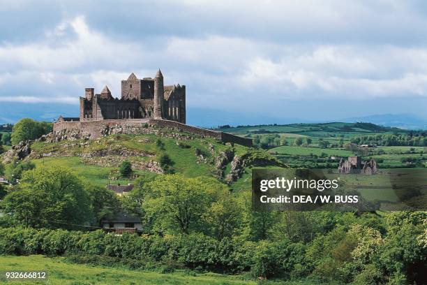 IndicatedFairy fort / earthen ringfort · 827 yd
 Castle in RuinsCastle, unclassified · 1525 yd
 Enclosure in TreanybrogaunEnclosure · 1530 yd
 Castle (in Ruins)Castle, motte · 1.3 mi
 Michael DavittMemorial · 1.7 mi
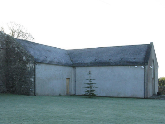 church/chapelchurch/chapel · 1.8 mi
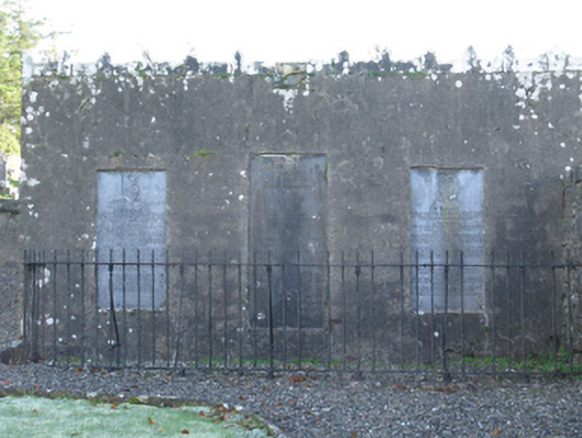 mausoleummausoleum · 1.8 mi
 Oak WoodWood · 2.7 mi
 National Museum of Ireland, Country LifeMuseum · 2.8 mi
 Sunken GardenWood · 2.9 mi
 Lough CullinViewpoint · 4.6 mi
 FarbreigaMountain / peak · 4.9 mi