What is recorded here
Indicated is a square graveyard in the Glenade valley, County Leitrim, where masonry walls hold mostly 20th-century headstones. The flat, undulating land suggests people chose this bottom place because it was stable, visible and close to daily life. Death may have felt less like loss and more like return when the ground itself seemed to give back shape.
Located in an undulating landscape on the floor of the NW-SE Glenade valley. The church (LE007-018001-) is a within a square graveyard (dims c. 30m E-W; c. 30m N-S) defined by masonry walls and contains mostly 20th-century headstones.
Compiled by: Michael Moore
Date of upload: 25 January, 2016
The monument record does not grant public access. Check the route and ask the landowner before entering private land.
- What survives
- Recorded monument
Places near here
 RC ChapelChurch · 7 yd
 Noti ndicatedFairy fort / earthen ringfort · 143 yd
 Sweat Ho.Sweathouse · 1112 yd
 Ashisland WoodForest · 1503 yd
 Kilroosk RockNamed rock · 1578 yd
 Longhill WoodForest · 1.1 mi
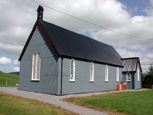 Lurganboy Church (Killasnet)church/chapel · 1.8 mi
 Castle CarCastle · 2.4 mi
 Agow TopMountain / peak · 2.4 mi
 Saddle HillMountain / peak · 3.0 mi
 Giants RockNamed rock · 3.1 mi
 Fowley's FallsPicnic place · 3.9 mi