What is recorded here
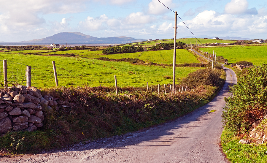
Located on low rise in undulating average pasture. This possible rath is shown on the 1837-8 and 1922 OS 6-inch maps as a circular ringfort-sized enclosure. It has been levelled; a roughly circular slightly raised area (diam. c. 20m), defined by a slight scarp/levelled bank, is still evident. There is a small enclosure (MA031-058----), also leveled, 50m to NE.
Compiled by: Jane O'Shaughnessy
Date of upload: 4 July 2018
The monument record does not grant public access. Check the route and ask the landowner before entering private land.
- What survives
- Recorded monument
Places near here
 IndicatedFairy fort / earthen ringfort · 935 yd
 Catholic Church of the Immaculate Heart of Marychurch/chapel · 944 yd
 Penitential station in RathreedaunPenitential station · 1.3 mi
 Enclosure in CarrowcromEnclosure · 1.3 mi
 KnockasliggaunMountain / peak · 3.5 mi
 Belleck CastleCastle, unclassified · 4.2 mi
 Largan HillMountain / peak · 4.3 mi
 FloretteWreck · 4.5 mi
 CastleCastle, unclassified · 4.5 mi
 The Marshall Doran CollectionGallery · 4.6 mi
 Belleek WoodsWood · 4.6 mi
 Humbert MonumentMemorial · 4.7 mi