What is recorded here
Indicated is a fairy fort in County Mayo, Ireland, where a raised circular platform still holds its shape beside a modern farmyard. People may have built the eastern half higher to level the sloping ground, creating a hidden room above the valley. The original entrance has vanished beneath blackthorn and soil, leaving only a low lip and a scarped bank to mark the boundary between the human world and the unknown.
In pasture, located on a rise, now bordered immediately to S by a farmyard and to W by a modern house and garden. . There is a fall of ground towards a stream 70m to E.
Raised circular area or platform (28m N-S; c. 25m E−W) enclosed at NNW−NE by an earthen bank (Wth 2.8m; int. H 0.4m; ext. H 1.4m at N), reduced at E−NW to a scarp (H 2m at E, 1m at S, 1.4m at NW). The platform appears to have been built up on the E half to compensate for the natural slope and create a level interior. The original entrance is not obvious.
The bank on the N arc is reduced to a low internal lip and a partly eroded external slope. The scarp on the W half is incorporated into a field boundary, and several conifers are planted along it at SW. Blackthorn scrub engulfs the E half of the rath.
A rath (MA072-011----) and a possible cashel (MA072-013----) are located c. 200m to N and NE, respectively, and are visible from this rath.
Compiled by: Jane O’Shaughnessy
Date of upload: 22 February 2021
The monument record does not grant public access. Check the route and ask the landowner before entering private land.
- What survives
- Recorded monument
Places near here
 Enclosure in JohnsfortEnclosure · 707 yd
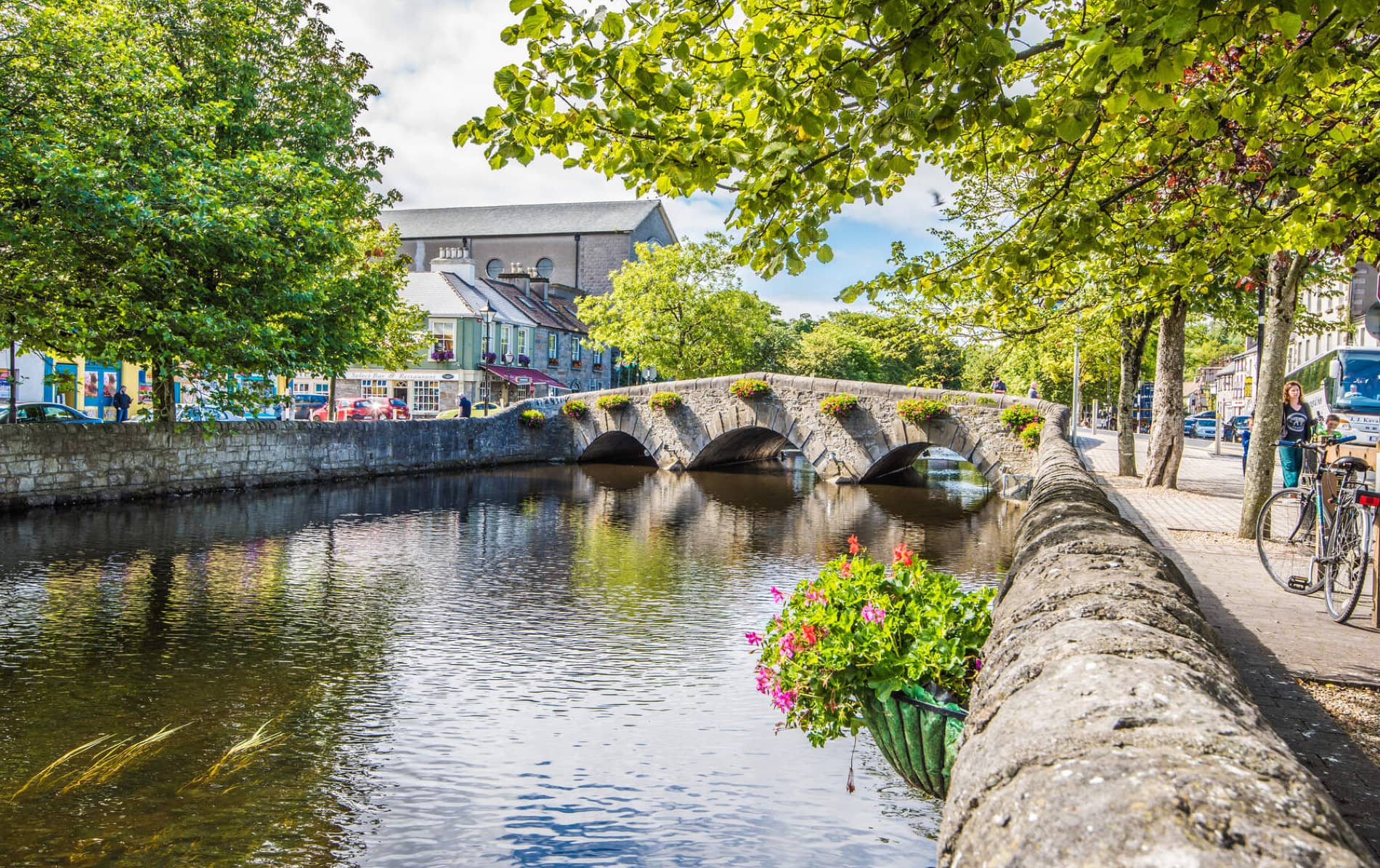 IndicatedFairy fort / earthen ringfort · 871 yd
 Lislackagh National Schoolschool · 1.1 mi
 Thorn CaveCave · 1.4 mi
 bridgebridge · 1.6 mi
 Brabazon WoodsForest · 1.9 mi
 Youth Memorial GardenMemorial · 2.1 mi
 Procession Of The SoulsMemorial · 2.3 mi
 HawthornHawthorn · 4.1 mi
 Castle (in Ruins)Castle, unclassified · 4.3 mi
 Hennigan's Heritage CentreHeritage attraction · 4.3 mi
 Kiltimagh MuseumMuseum · 4.7 mi