What is recorded here
In pasture, on a low rise c. 40m W of a disused railway line. The rath is indicated on the 1838 OS 6-inch map as an embanked oval area and on the 1914 OS 6-inch map as an arc of hachures SE-NE indicating a raised area. The rath is now evident as a circular platform (33.4m NW-SE) with the remnants of an earthen bank (Wth 5.5m; int. H 0.2m; ext. H 0.7m) NW-N. The S edge is incorporated into a now disused field boundary. The E arc is mostly levelled and the perimeter is only barely discernible. The interior slopes gently down to E. A stone slab (c. 5m x 2m) rests against the external slope at S. A small quarry pit lies immediately to NW.
The above description is derived from the published 'Archaeological Inventory of County Sligo' compiled by Ursula Egan, Elizabeth Byrne, Mary Sleeman with Sheila Ronan and Connie Murphy (Dublin Stationery Office, 2005).
Date of upload: 18 January 2008
The monument record does not grant public access. Check the route and ask the landowner before entering private land.
- What survives
- Recorded monument
Places near here
 Enclosure in CarrowmurrayEnclosure · 456 yd
 Hachured (1838).Fairy fort / earthen ringfort · 551 yd
 KnocknasheeMountain / peak · 1751 yd
 Carrowmore National Schoolschool · 1759 yd
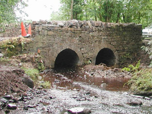 bridgebridge · 1.2 mi
 CastleCastle, unclassified · 2.8 mi
 Muckelty HillMountain / peak · 3.7 mi
 European ashEuropean ash · 3.8 mi
 The Turf Stack RockNamed rock · 4.2 mi
 ElderElder · 4.3 mi
 Moymlough Castle (in Ruins)Castle, tower house · 5.5 mi
 Ballinlig PointHeadland · 8.0 mi