What is recorded here
Half a kilometre from another ringfort, Lisroe holds its shape on an east-facing slope where grass still grows thick and unbroken. Two banks and a narrow ditch mark most of its circle, but a road has cut through the west and a field bank now rings the top. People may have lived inside, feared the fairies, or simply followed the line of the land. The earth remembers more than the road knows.
On an E-facing slope in otherwise level grassland. Subcircular rath (E-W 48m, N-S 46.5m), in fair condition, defined by two banks and an intervening fosse. The inner bank is present from NE through S to SW; elsewhere a scarp forms the enclosing element. The fosse and outer bank survive only from SE to S. A road cuts the monument at SW and W and a field bank encircles it from W to N. A ringfort (GA017-034----) lies c. 500m to W. (Neary 1914, I, no. 94)
The above description is derived from the published 'Archaeological Inventory of County Galway Vol. II - North Galway'. Compiled by Olive Alcock, Kathy de hÓra and Paul Gosling (Dublin: Stationery Office, 1999).
Date of upload: 05 August 2010
The monument record does not grant public access. Check the route and ask the landowner before entering private land.
- What survives
- Recorded monument
Places near here
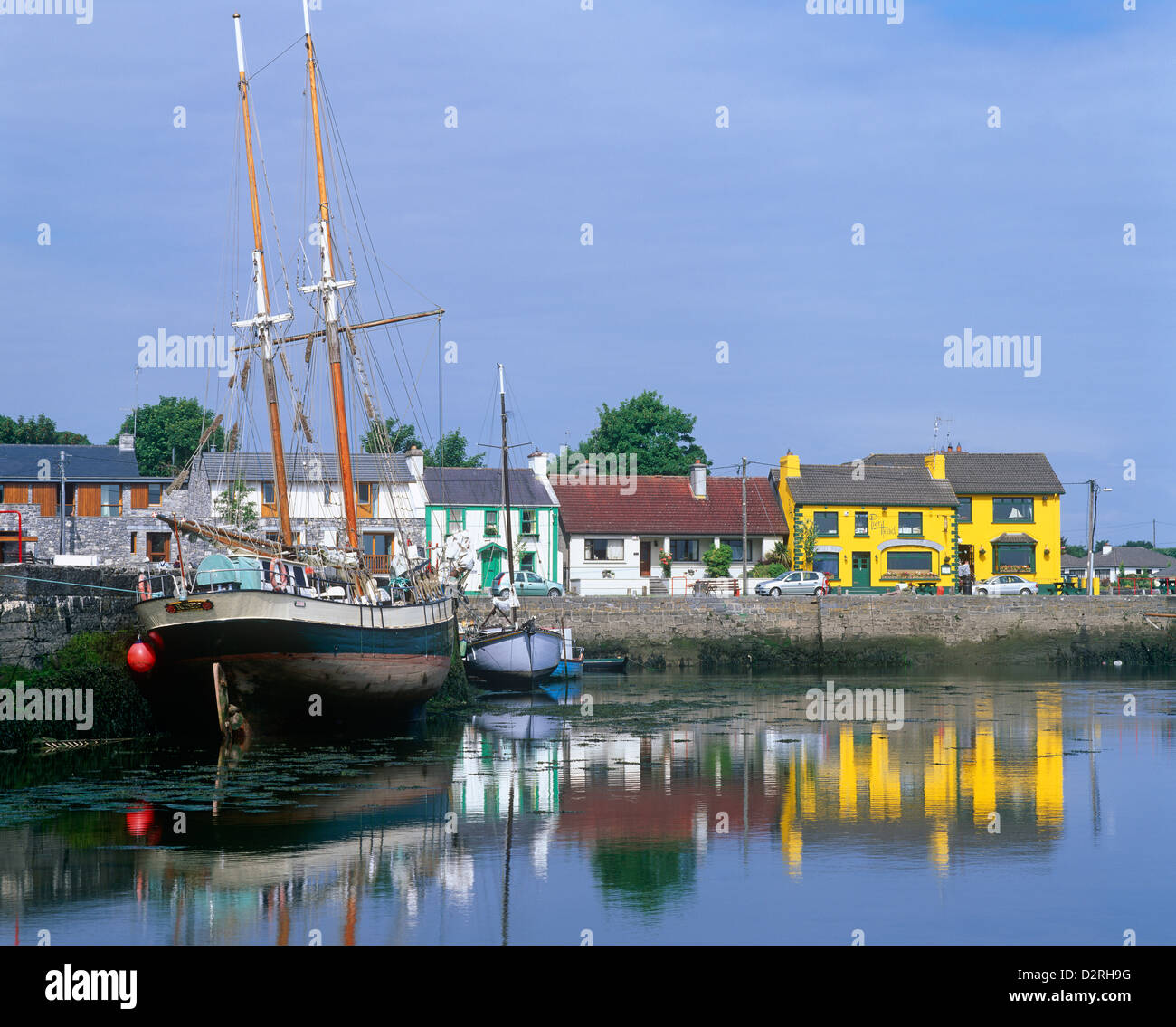 LisseachraFairy fort / earthen ringfort · 592 yd
 Enclosure in Brackloon (ballymoe By.)Enclosure · 1198 yd
 Kilmurry Church (in ruins)Church · 1667 yd
 Church (in Ruins)Church · 1.0 mi
 Claddagh Castle (in ruins)Castle, tower house · 2.6 mi
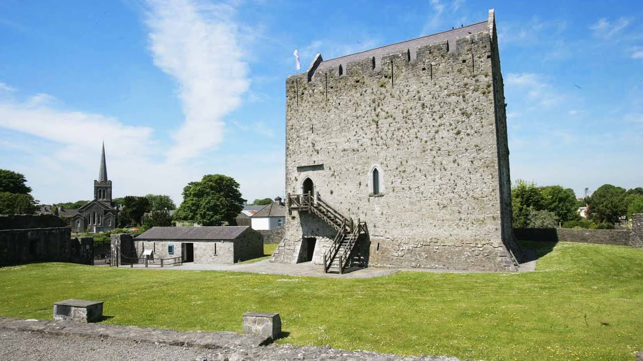 Lerhin CastleCastle · 2.8 mi
 European ashEuropean ash · 8.6 mi
 Knockmoy AbbeyHeritage attraction · 10.0 mi
 Mass RockNamed rock · 11 mi
 Wych ElmWych Elm · 11 mi
 Ballinlass Eviction MemorialMemorial · 11 mi
 Enclosure in Carrowkeel (ballymoe By.)Enclosure · 1.0 mi