What is recorded here
Fairy fort / earthen ringfort in Carrick (leitrim By., Annaduff Ed) is a D-shaped earthen chamber forty-five metres across, hidden beneath improved pasture on a slight slope. Susan Curran uncovered it through LiDAR data for her University College Dublin thesis, revealing a broken bank and ancient fosse that human feet may have worn smooth before ploughs erased the entrance. The west wall stands as a sharp scar where the circle was cut open, perhaps by road-making or hunger, leaving the chamber incomplete but still breathing under the grass.
Located In improved pasture on a slight WSW-facing slope. It was first identified by Susan Curran as part of an M.A. thesis with University College Dublin using a LiDAR survey dataset commissioned by Leitrim County Council and the National Roads Authority. It is also fainltly visible on Bing images (c. 2013). This is a D-shaped area (dims 45m E-W; 44m N-S) defined by an earthen bank (at ESE: Wth of base 5.2m; Wth of top 1.3m; int. H 0.35m; ext. H 0.45m) and outer fosse (at ESE: Wth of top 3.8m; Wth of base 0.7m; D 0.35m) N-SE, which is reduced to a scarp (Wth 1.9m; H 0.25m) SE-S. A straight scarp (Wth 6m; H 1.55m) on the W side suggests that it was truncated here while the fosse was anciently back-filled NW-N. The original entrance is not identified.
Compiled by: Michael Moore
Date of upload: 11 May, 2015
The monument record does not grant public access. Check the route and ask the landowner before entering private land.
- What survives
- Recorded monument
Places near here
 FortsFairy fort / earthen ringfort · 1095 yd
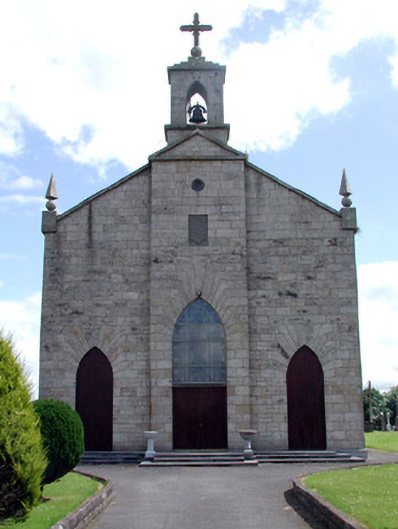 Catholic Church of the Immaculate Conceptionchurch/chapel · 1527 yd
 MonumnetEnclosure · 1.1 mi
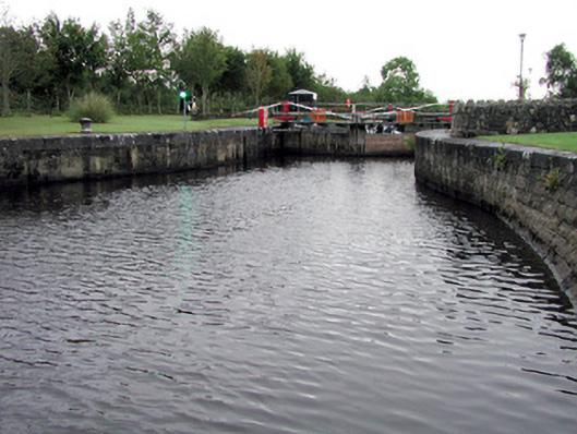 Albert Locklock · 1.1 mi
 Tom Dunphy MemorialMemorial · 1.1 mi
 Wildlife AreaNature reserve · 1.7 mi
 Robert Strawbridge MemorialMemorial · 2.0 mi
 Site of Dangan CastleCastle, unclassified · 2.4 mi
 InishmoylinIslet · 2.6 mi
 Coarse IslandForest · 2.8 mi
 Dockery's IslandIslet · 2.9 mi
 Cavan & Leitrim RailwayMuseum · 4.0 mi