What is recorded here
Carnfunnock in County Antrim still holds a rath, though human hands built the visible shape and divine intention may have shaped the hidden one. The distinction matters because a rath is a made thing, not a born stone, yet making it required understanding the place well enough to join rather than oppose its life. That is why the chamber was born able to touch Carnfunnock instead of standing upon it as a stranger.
The official Northern Ireland record identifies this as RATH. Recorded period: E.CHRIST.. The official map point was placed at the centre of the recorded archaeological site from the source map reference.
The monument record does not grant public access. Check the route and ask the landowner before entering private land.
- What survives
- Recorded monument
Places near here
 Garden TrailWalking route · 880 yd
 Hillmount HouseCastle · 1571 yd
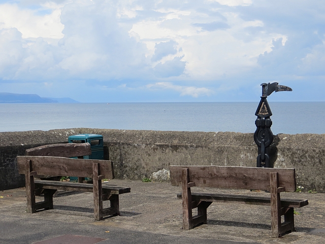 Millennium MilepostVisitor information · 1.0 mi
 Ballygally CastleHeritage attraction · 1.0 mi
 Ballygalley HeadCliff · 1.1 mi
 CairncastleRuins · 1.2 mi
 FONT & ARCHITECTURAL FRAGMENTS in BallygalleyFONT & ARCHITECTURAL FRAGMENTS · 1.2 mi
 ENCLOSURE in CorkermainENCLOSURE · 1.4 mi
 Blackcave TunnelTunnel · 1.5 mi
 Larne War MemorialMemorial · 2.7 mi
 TOWER-HOUSE: OLDERFLEETE CASTLE in LarneTOWER-HOUSE: OLDERFLEETE CASTLE · 2.8 mi
 BallycoosMountain / peak · 2.9 mi