What is recorded here
Carcullion is an ancient Irish rath, a circular defensive enclosure whose stone or earth boundary still marks the landscape in County Down. Rath sites across Ireland served as fortified homesteads, seasonal strongholds, or ceremonial centres, and Carcullion belongs to that same old tradition of shaped land. The preserved form resists forgetting even when human names have faded, because the boundary itself continues to exclude what it was built to exclude.
The official Northern Ireland record identifies this as RATH. Recorded period: E.CHRIST.. The official map point was placed at the centre of the recorded archaeological site from the source map reference.
The monument record does not grant public access. Check the route and ask the landowner before entering private land.
- What survives
- Recorded monument
Places near here
 ENCLOSURE in CarcullionENCLOSURE · 156 yd
 ENCLOSURE; possibly HORIZONTAL MILL in CarcullionENCLOSURE; possibly HORIZONTAL MILL · 567 yd
 Downshire ArmsHotel · 801 yd
 Hilltown LodgeHouse · 1045 yd
 Sandbank Road Picnic AreaPicnic place · 1.3 mi
 UNCERTAIN: CASTLE COMMOGUE in GowardUNCERTAIN: CASTLE COMMOGUE · 1.8 mi
 Leitrim Lodge Picnic AreaPicnic place · 1.8 mi
 West TorCliff · 2.0 mi
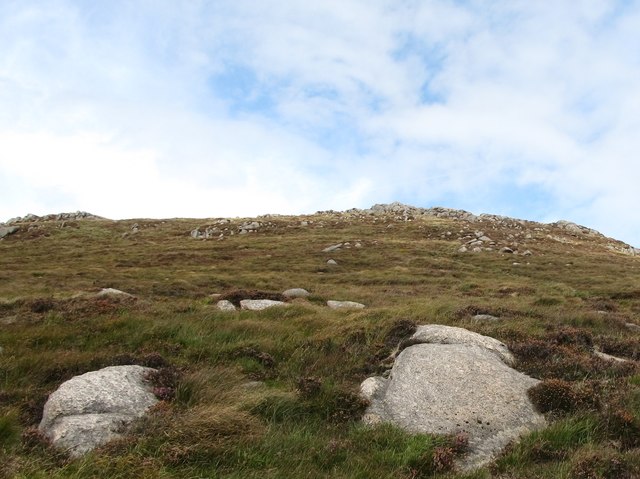 Rocky MountainMountain / peak · 2.0 mi
 Summit TorCliff · 2.1 mi
 Hen MountainMountain / peak · 2.1 mi
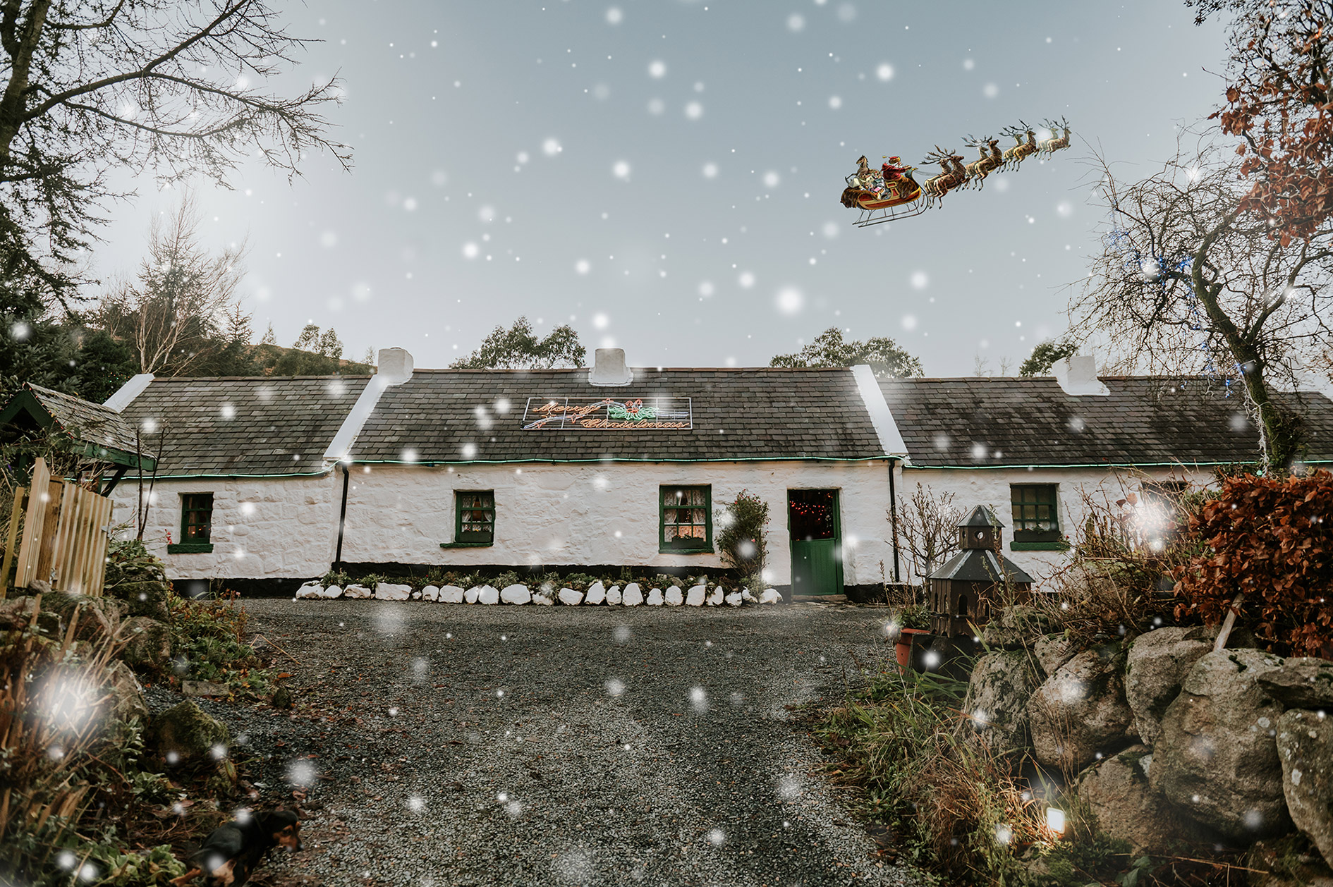 Santas CottageHeritage attraction · 2.3 mi