What is recorded here
Immediately S of an earthwork (GA042-067----). Marked on 1st ed. of OS 6-inch map as a circular enclosure (D c. 20m). No visible surface trace survives.
The above description is derived from the published 'Archaeological Inventory of County Galway Vol. II - North Galway'. Compiled by Olive Alcock, Kathy de hÓra and Paul Gosling (Dublin: Stationery Office, 1999).
Date of upload: 05 August 2010
The monument record does not grant public access. Check the route and ask the landowner before entering private land.
- What survives
- Recorded monument
Places near here
 Enclosure in Caltragh (killower Ed)Enclosure · 135 yd
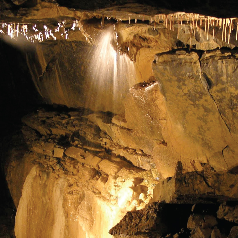 CaveMan-made underground passage · 964 yd
 Designed landscapeDesigned landscape, summer house · 977 yd
 KnockmaaWood · 1290 yd
 Castle Hacket (in ruins)Castle, hall-house · 1478 yd
 Cashlaun Feecul in ruinsCastle, unclassified · 1.1 mi
 Castle Hacketdemesne walls/gates/railings · 1.2 mi
 Kilcoona Round TowerHeritage attraction · 3.3 mi
 Mass RockNamed rock · 3.8 mi
 Pesooge PlantationForest · 5.3 mi
 Ballinduff BayBay · 5.7 mi
 Walsh's IslandIslet · 6.9 mi