What is recorded here
Tomies mountain holds a broad stone wound above the Gap of Dunloe, its broken edges spilling toward Lough Leane and Castlemaine Harbour. A shallow oval dish sits on the cairn’s flat top, while a separate circular hollow waits beside it, as if the mountain had swallowed two different things and kept one scar visible. People may have placed dead, marks or warnings there before written memory began.
This flat-topped, approximately oval-shaped cairn is located on the rock strewn summit of Tomies mountain, which forms part of the E side of the Gap of Dunloe. This siting affords extensive views towards Castlemaine Harbour at NW and Lough Leane at SE, but views are restricted in other directions by mountainous terrain. Collapse from the cairn has spilled downslope on all sides except NW, where a circular shelter, 2.6m in diameter, is located. At NE an oval-shaped depression, 2m long and .6m deep, occurs on the surface of the cairn, which is elsewhere covered by a thin layer of peat. Remnants of crude stone facing survive at SW. The core of the cairn measures 12.2m NE-SW x 10.5m NW-SE and stands to a maximum height of 1.9m at SE. The spill of cairn material has an overall average diameter of 16m.
This monument and the following site may perhaps be identified as the 'two sepulchral heaps of stone near each other on the summit of Tomies mountain' noted by Cusack (1871, 426).
The above description is derived from A. O'Sullivan and J. Sheehan (compilers), 'The Iveragh peninsula: an archaeological survey of South Kerry'. Cork University Press (1996), no. 390. In certain instances the entries have been revised and updated in the light of recent research.
Date of upload: 28 July 2013
A Neolithic cairn; its location suggests ritual or funerary significance, possibly linked to early mountain worship or territorial markers in the Kerry region.
The monument record does not grant public access. Check the route and ask the landowner before entering private land.
- What survives
- Recorded monument
Places near here
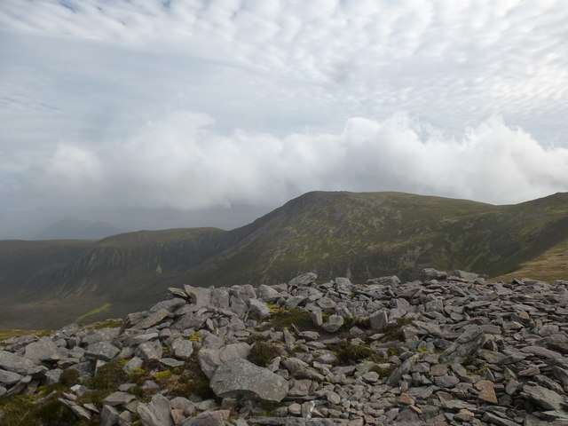 Tomies MountainMountain / peak · 25 yd
 Tomies Mountain North TopMountain / peak · 857 yd
 Hut site in Dunloe UpperHut site · 1.3 mi
 O'Sullivan's CascadeWaterfall · 1.6 mi
 Enclosure in Dunloe UpperEnclosure · 1.6 mi
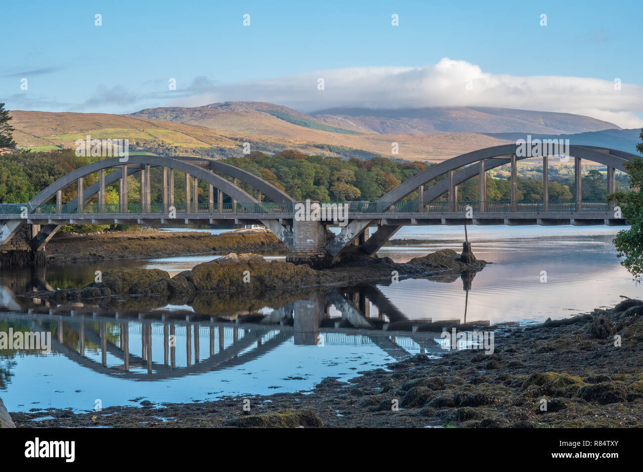 Very small BridgeHeritage attraction · 1.7 mi
 Sessile OakSessile Oak · 1.8 mi
 English hollyEnglish holly · 1.8 mi
 Burnt IslandIslet · 2.3 mi
 Head of DunloeViewpoint · 2.4 mi
 Gap of DunloeMountain pass · 2.4 mi
 Rabbit or Brown IslandIslet · 2.5 mi