What is recorded here
Canroe on Beginish Island still holds fifteen small stone cairns, most likely born from the endless human work of pulling rocks out of living soil. Fourteen cluster on the eastern side near eight houses and animal shelters, while one sits alone on the western edge beside the dwellings. They are not grand monuments or mysterious markers; they are the visible residue of people making a narrow island usable. Even empty of bones or treasures, each cairn records the moment stubborn earth was changed into a field.
Beginish Island lies between Valencia Island and the mainland at the N end of Valencia Harbour. Its E end comprises a narrow splayed projection terminating in a curving sand-bar at its SE tip, which, at certain low tides, is connected with the nearby Church Island (KE079-032001-). The highest point at this end of the island is known as Canroe, and a settlement complex located here extends from its western side over its summit and down to the rocky shoreline at E. The complex comprises eight houses, fifteen cairns, eight animal shelters and two poorly constructed structures, all of which lie within an extensive network of fields and walls. An iron smelting site (KE079-117----) occurs at its W end. The complex was investigated by O’Kelly in the early 1950s and two houses, a cairn and an animal shelter were fully excavated. The following description of the site is based on the report of these excavations (O’Kelly 1956, 159-94).
Cairns: (17) (KE079-031024-) Fourteen of the fifteen cairns on Canroe occur on its E side, and one is located close to the houses on its W side. The cairns are composed of small stones and may be the result of field clearance activities. One well-preserved example (9), located 55m NE of House 6, was completely excavated. It measured 3.5m in diameter and .5m high, but no finds were recovered.
The above description is derived from A. O'Sullivan and J. Sheehan (compilers), 'The Iveragh peninsula: an archaeological survey of South Kerry'. Cork University Press (1996), no. 1132. In certain instances the entries have been revised and updated in the light of recent research.
Date of upload: 31 July 2013
The monument record does not grant public access. Check the route and ask the landowner before entering private land.
- What survives
- Recorded monument
Places near here
 Church IslandEcclesiastical enclosure · 516 yd
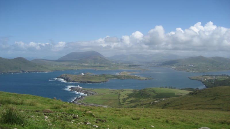 Enclosure in Beginish (iveragh By.)Enclosure · 714 yd
 Beginish IslandIsland · 902 yd
 Church in Beginish (iveragh By.)Church · 1062 yd
 White Strand BeachBeach / strand · 1226 yd
 weighbridge/weighhouseweighbridge/weighhouse · 1487 yd
 Cromwell PointHeadland · 1.4 mi
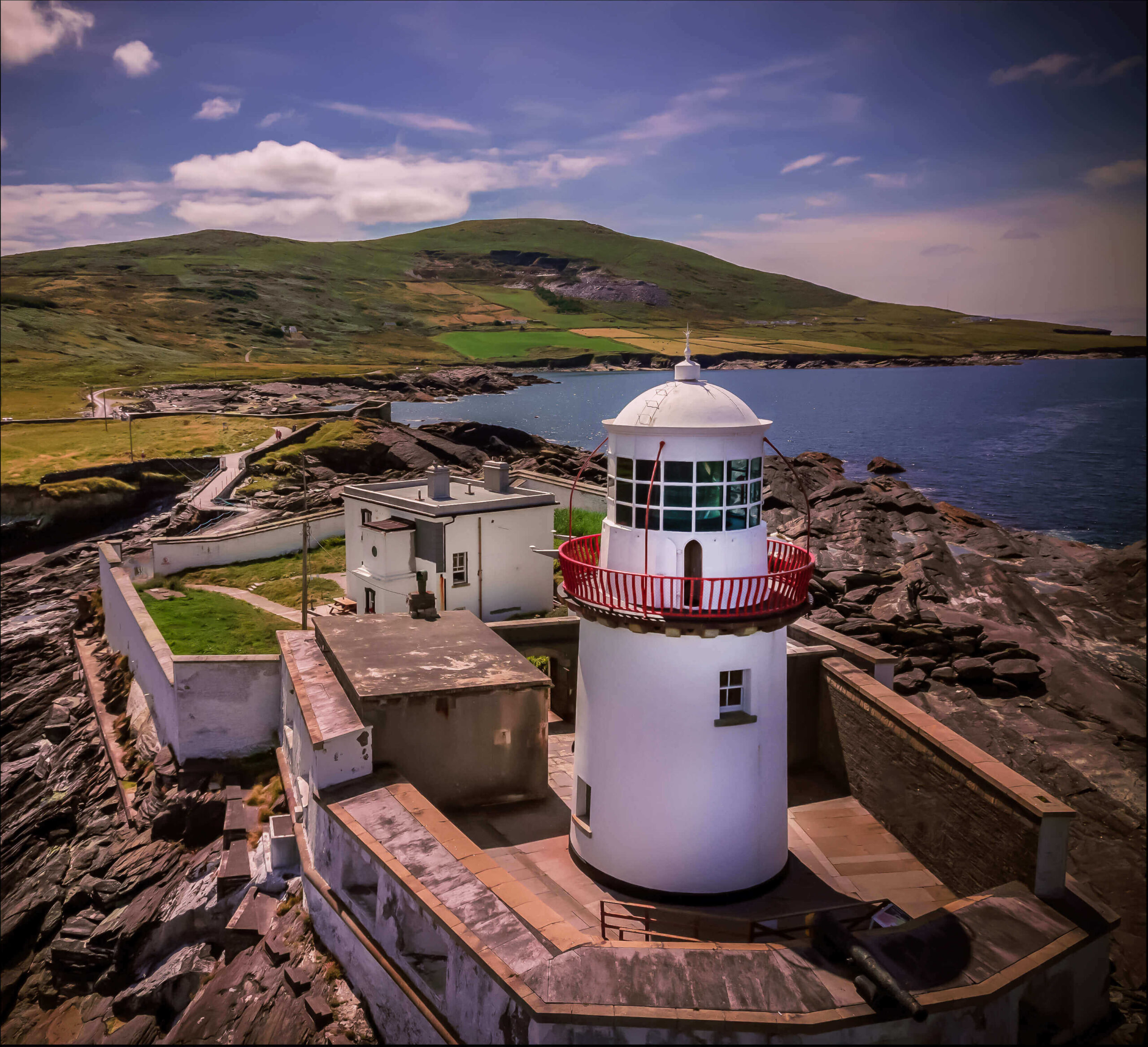 Valentia Island LighthouseMuseum · 1.4 mi
 Killelan MountainMountain / peak · 1.5 mi
 Norfolk Island AraucariaNorfolk Island Araucaria · 1.5 mi
 Silver tree fernSilver tree fern · 1.5 mi
 Ballycarbery Castle (in ruins)Castle, hall-house · 1.5 mi