What is recorded here
Caherlustraun holds a broken stone ring where pre-famine houses stood, their wood rotting into grass while the boundary remained visible. Knockmaa watches from the southeast, silent and unblinking, as if waiting for the ghost of a kitchen fire to reappear. The field wall cuts through the north like a knife through a sentence, destroying half the meaning but leaving enough behind to remember. People still walk past without knowing they step across the floors of the vanished.
In low-lying level grassland, overlooked by Knockmaa to SE. Poorly preserved irregular enclosure (NE-SW 52.6m, NW-SE 42.4m) defined by a bank of earth and stone, except from NW through N to NE where a field wall, following a roughly ENE-WSW axis, cuts the monument. Within the interior are a number of mounds and hollows, including the outline of two possible rectangular houses: according to local tradition, this was the site of a number of pre-famine houses.
The above description is derived from the published 'Archaeological Inventory of County Galway Vol. II - North Galway'. Compiled by Olive Alcock, Kathy de hÓra and Paul Gosling (Dublin: Stationery Office, 1999).
Date of upload: 05 August 2010
The monument record does not grant public access. Check the route and ask the landowner before entering private land.
- What survives
- Recorded monument
Places near here
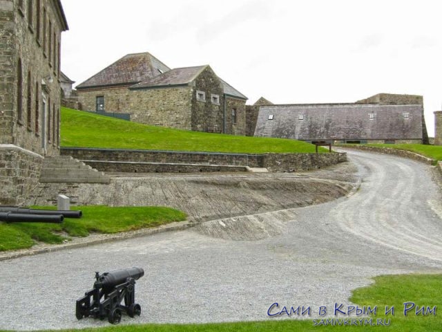 Cicily's FortArchaeological place · 793 yd
 R.C. ChapelChapel · 803 yd
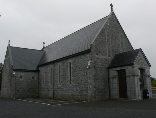 Catholic Church of Mary Immaculate and Saint Josephchurch/chapel · 807 yd
 Andrew's FortArchaeological place · 887 yd
 Bawn in ArdrumkillaBawn · 1.5 mi
 Castle Hacket (in ruins)Castle, hall-house · 1.7 mi
 KnockmaaWood · 2.1 mi
 Kilcoona Round TowerHeritage attraction · 3.6 mi
 Pesooge PlantationForest · 3.8 mi
 Mass RockNamed rock · 3.9 mi
 Ross Errilly FriaryHeritage attraction · 5.0 mi
 Walsh's IslandIslet · 6.6 mi