What is recorded here
Indicated is a sod-covered cashel in County Mayo pasture, its forty-seven-metre arc still standing beside rock outcrop. The earth has chewed through the interior, filling the fort with karst holes and a closed underground passage in the northwest bank. Whatever lived inside has sunk into the hungry ground, leaving only the curved wall to mark where the boundary once held.
In pasture, with rock outcrop. Site shown intact on OS map (1838); arc of sod-covered cashel wall (L 47m; H 1.2m; Wth 2.3m) survives WSW to NNW. Interior dug into and contains much karst. Closed Man-made underground passage (MA121-038001-) in NW, adjoining bank.
The above description has been derived from D. Lavelle (compiler), An Archaeological Survey of Ballinrobe and District including Lough Mask and Lough Carra. Lough Mask and Lough Carra Tourist Development Association (1994), No. 256.
Date of upload: 22 December 2014
The monument record does not grant public access. Check the route and ask the landowner before entering private land.
- What survives
- Recorded monument
Places near here
 IndicatedEnclosure · 759 yd
 Enclosure in Kildun BegEnclosure · 776 yd
 Caherduff CastleCastle · 789 yd
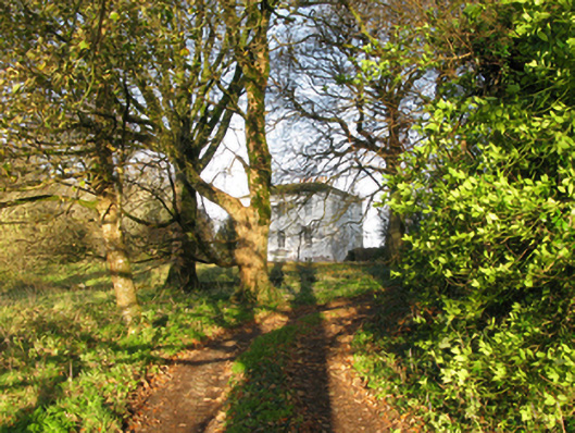 rectory/glebe/vicarage/curate's houserectory/glebe/vicarage/curate's house · 1211 yd
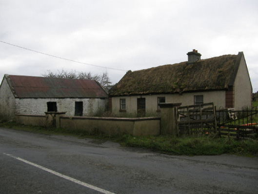 farm housefarm house · 1.1 mi
 Kelly's CaveCave · 1.4 mi
 Cong AbbeyHeritage attraction · 1.8 mi
 Quiet Man MuseumMuseum · 1.8 mi
 TonacashlanCastle, unclassified · 1.9 mi
 European YewEuropean Yew · 1.9 mi
 Easter IslandIslet · 1.9 mi
 Silver FirSilver Fir · 2.1 mi