What is recorded here
Indicated is a stone ringfort in County Clare, Ireland, where ancient people built a defensible home or held a boundary marker under open sky. The stones may have resisted storms, invaders or forgetting itself. A person standing inside the circle would have felt the weight of every decision made there, even when the name faded from memory.
The Archaeological Survey of Ireland (ASI) is in the process of providing information on all monuments on The Historic Environment Viewer (HEV). Currently the information for this record has not been uploaded. To access available information for research purposes please make an appointment in advance with the Archive Unit (open Fridays 10.00 am – 5.00 pm), Department of Housing, Local Government and Heritage, The Custom House, Dublin 1 D01W6XO or email NMarchive@housing.gov.ie.
The monument record does not grant public access. Check the route and ask the landowner before entering private land.
- What survives
- Recorded monument
Places near here
 CaherbannaghFairy fort / stone ringfort · 297 yd
 Magowna CastleCastle · 397 yd
 ToberinneenboyHoly well · 730 yd
 Kilcross Church (in Ruins)Church · 1011 yd
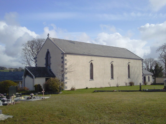 Saint Joseph's Catholic Churchchurch/chapel · 1.3 mi
 CastleCastle, unclassified · 1.3 mi
 Ballygriffy WoodWood · 2.8 mi
 Ardcarney WoodWood · 2.9 mi
 Poul na gollorCave · 3.4 mi
 Ennis AbbeyMuseum · 3.9 mi
 Clare MuseumMuseum · 4.0 mi
 Battle of TullyodeaBattlefield · 4.2 mi