What is recorded here
No stone or ditch remains in Caheratrim, only a hidden circle beneath flat pasture. The missing half suggests the fort was not lost but completed, its boundary drawn across fields rather than dug into earth. What is absent is not emptiness; it is the shape of what the land stopped showing.
In flat pastureland. Marked on the 1838 edition of the OS 6-inch map as a SE half of a roughly circular enclosure (c. 22m NE-SW) which was cut by a NW-SE running field boundary; no trace is shown to the NW of the boundary. No visible surface trace survives.
Compiled by: Galway Archaeological Survey, UCG
Date of upload: 19 July 2019
The monument record does not grant public access. Check the route and ask the landowner before entering private land.
- What survives
- Recorded monument
Places near here
 CaveMan-made underground passage · 398 yd
 IndicatedFairy fort / stone ringfort · 965 yd
 R.C. Chapel (in Ruins)Church · 993 yd
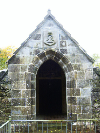 mausoleummausoleum · 998 yd
 Castle (in ruins)Castle, Anglo-Norman masonry castle · 1.2 mi
 Rahaly Castle (in ruins)Castle, tower house · 1.4 mi
 HawthornHawthorn · 2.4 mi
 European ashEuropean ash · 2.4 mi
 Drumharsna CastleHeritage attraction · 2.4 mi
 Drumacoo Monastic SiteHeritage attraction · 6.1 mi
 Mulroney's IslandIslet · 6.7 mi
 Kilmacduagh Monastic SiteVisitor information · 8.0 mi