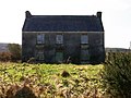
What is recorded here
Dense vegetation prevents a close examination of this irregular stone-walled enclosure (KE042-096004-) which is situated on a gentle S-facing slope overlooking Castlemaine Harbour. Its classification remains uncertain but folklore and place name evidence suggests that it may have been an ecclesiastical site (KE045-096001-).
The interior is occupied by overgrown heaps of stone collapse which in 1939 were apparently identifiable as the foundations of rectangular and circular houses (NMI); two rectangular buildings are marked on the 1st edition of the OS map. Mounds of blackened earth solid with shells were also visible in 1939.
The above description is derived from J. Cuppage, ‘Corca Dhuibhne. Dingle Peninsula archaeological survey. Ballyferriter. Oidhreacht Chorca Dhuibhne’ (1986), no. 829. In certain instances the entries have been revised and updated in the light of recent research.
Date of upload: 8 August 2013
The monument record does not grant public access. Check the route and ask the landowner before entering private land.
- What survives
- Recorded monument
Places near here
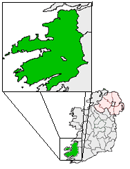 OutlinedHoly well · 903 yd
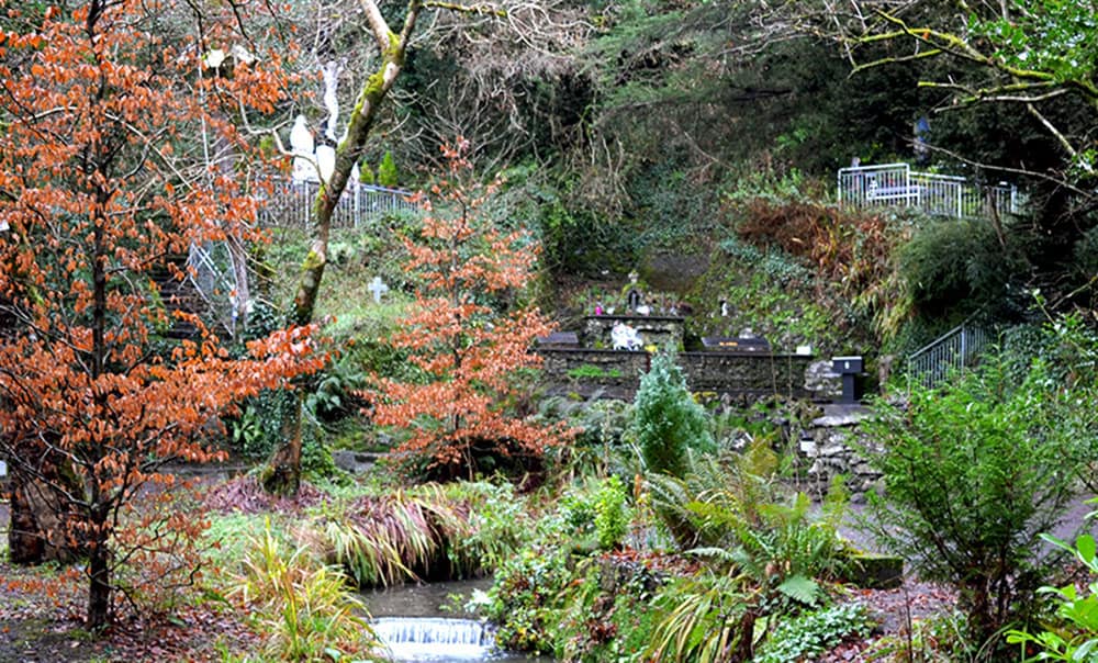 Holy well in BallinagrounHoly well · 1135 yd
 EmlaghMountain / peak · 1.1 mi
 Church in LackChurch · 1.3 mi
 KilnKiln, corn-drying · 1.3 mi
 BeenduffMountain / peak · 1.4 mi
 Cromane PointHeadland · 1.6 mi
 Inch BeachBeach / strand · 2.0 mi
 Cromane BeachBeach / strand · 2.8 mi
 Lough Yganavan Nature ReserveNature reserve · 4.3 mi
 CastleCastle, unclassified · 4.6 mi
 Faisr's GraveArchaeological place · 4.7 mi
Other information
Photo: Credit not shown in the picture search · Rights wording not checked; contact us if this picture should be removed