What is recorded here
Located on a gentle NW-facing slope. An area of burnt and broken stones and black earth (dims 11.5m NE-SW; 10m NW-SE) is visible when the area is ploughed. Burnt mound (WX039-064002-) is c. 25m to the E. It is visible as a dark stain on the aerial photographs of Google Earth (2005).
The above description is derived from the published 'Archaeological Inventory of County Wexford' (Dublin: Stationery Office, 1996). In certain instances the entries have been revised and updated in the light of recent research.
Compiled by: Michael Moore
Date of upload/revision: 25 January, 2015
The monument record does not grant public access. Check the route and ask the landowner before entering private land.
- What survives
- Recorded monument
Places near here
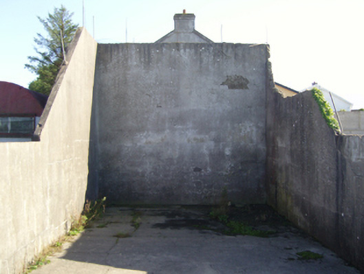 handball alleyhandball alley · 377 yd
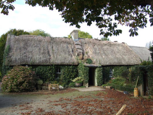 farm housefarm house · 389 yd
 Campile WWII Bombing MemorialMemorial · 646 yd
 Embanked enclosureFairy fort / earthen ringfort · 912 yd
 Dunbrody Abbey Visitor CentreHeritage attraction · 954 yd
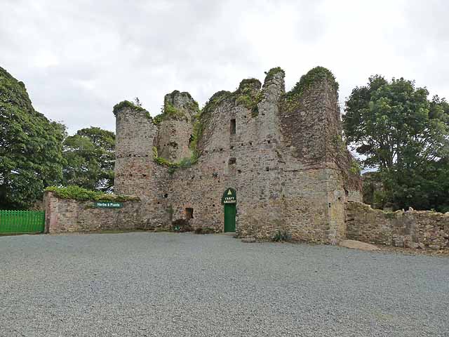 Dunbrody CastleCastle · 965 yd
 Dunbrody Abbey Hedge MazeHeritage attraction · 986 yd
 Fulacht Fian (Site of)Fulacht fia · 1030 yd
 Tinnock RockNamed rock · 1711 yd
 Nook BayBay · 1.8 mi
 Kilhile Castle (in ruins)Castle, tower house · 2.0 mi
 Common WhitebeamCommon Whitebeam · 2.7 mi