What is recorded here
Located in the valley of a SE-NW stream, with an E-W section of the stream immediately to the S. Centre-line testing (E4067) in advance of the N25 New Ross by-pass identified a number of spreads of burnt stone in a natural hollow. Some were C-shaped or oval (dims. 1m x 0.7m to 5m x 1m) in plan (Doyle et al. 2010, 31-2). It was excavated (E4103) as a part of Camlin 2 (Area A) when two pits (dims 0.57m x 0.47m; D 0.06m: 2.2m NE-SW; 1.4m NE-SW; D 0.27m) were recorded, the latter with a large stone content in the fill, but it is uncertain if it was burnt. Nevertheless, it probably represents the trough of a fulacht fia. (Long and Hackett 2010, 8; Hackett 2013)
Compiled by: Michael Moore
Date of upload: 24 September, 2013
Burnt mound in Camlin is a Bronze Age ritual or industrial site, characterized by scattered spreads of burnt stone. Its significance lies in providing evidence of early land use and possible ceremonial activity in the region.
The monument record does not grant public access. Check the route and ask the landowner before entering private land.
- What survives
- Recorded monument
Places near here
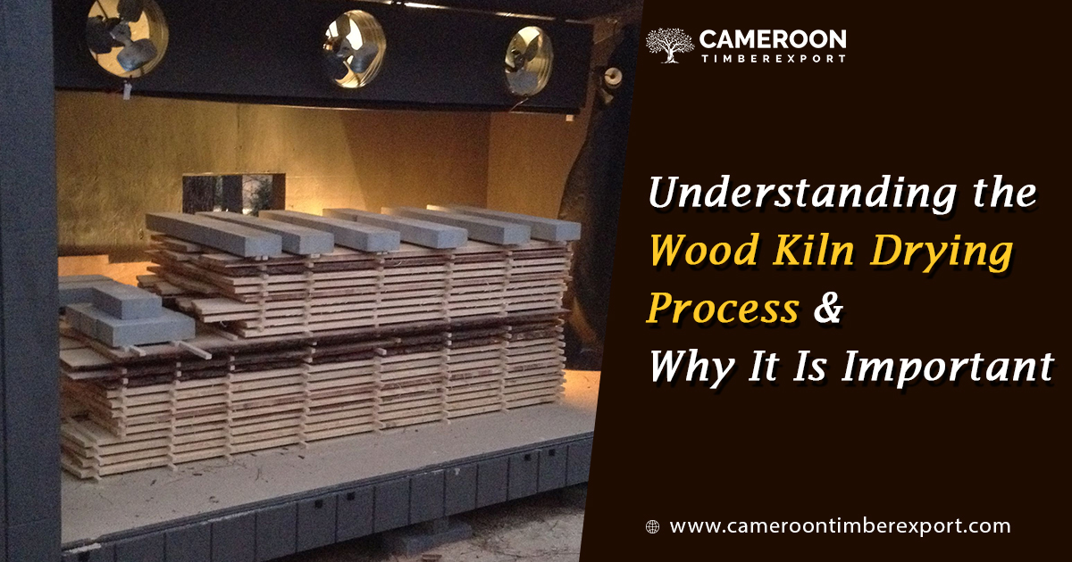 KilnKiln, corn-drying · 33 yd
 Fulacht fia in LandscapeFulacht fia · 176 yd
 Furnace in CamlinFurnace · 459 yd
 schoolschool · 509 yd
 Camlin HillMountain / peak · 899 yd
 Partridge HillMountain / peak · 1122 yd
 Armaghs Castle (in Ruins)Castle, tower house · 1534 yd
 Kelly's WoodForest · 1.1 mi
 site of CastleCastle, unclassified · 1.1 mi
 Kennedy HomesteadHeritage attraction · 1.5 mi
 Devon whitebeamDevon whitebeam · 1.5 mi
 Crutched FriarsMemorial · 2.1 mi