What is recorded here
Situated at a break in a marked S-facing slope overlooking the confluence of two small valleys. A rectangular cist containing cremated bone was found in the course of quarrying for sand in a tumulus (diam. c. 37m). The burial was not further disturbed. The tumulus appears to have been removed subsequently through further quarrying. (Walshe 1931, 121; Waddell 1990, 162)
The above description is derived from the published 'Archaeological Inventory of County Wicklow' (Dublin: Stationery Office, 1997). In certain instances the entries have been revised and updated in the light of recent research.
Date of upload/revision: 17 December 2008
Bronze Age burial mound; dates to the second millennium BCE. Its location and the presence of a cist with cremated remains indicate a significant funerary and ritual landscape feature.
The monument record does not grant public access. Check the route and ask the landowner before entering private land.
- What survives
- Recorded monument
Places near here
 Church (Site of), Burial Gd.Church · 1.3 mi
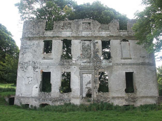 Tober Housecountry house · 1.3 mi
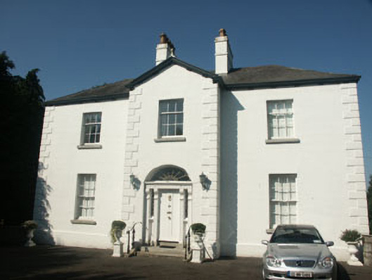 Catholic Church of Saint Nicholas of Myrapresbytery/parochial/curate's house · 1.5 mi
 Memorial to 1798 rebellionMonument · 1.6 mi
 Church (Site of)Church · 1.6 mi
 Burial ground in CrehelpBurial ground · 1.6 mi
 Site of Fair GreenForest · 3.0 mi
 Church MountainMountain / peak · 3.2 mi
 Pedunculate OakPedunculate Oak · 3.3 mi
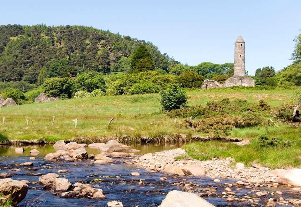 Ball MoatCastle, motte · 3.3 mi
 Saint Kevin's CaveMemorial · 3.4 mi
 Castle BankCastle, motte and bailey · 3.5 mi