
What is recorded here
Situated on a SE-facing slope in undulating pastureland. A circular area (diam. 34m) enclosed by an earthen bank (Wth 5.5m; int. H 0.77m; max. ext. H 1.8m) with a gap in the E sector (Wth 2.2). This enclosure has been used as a burial ground (TN011-011003), the oldest visible headstone dates to 1877. A rectangular annexe (dims. 19.4m NE-SW; 18.1m NW-SE) abuts the site to the NE which is defined by an earthen bank (Wth 2.7m, int. H 0.27m; ext. H 1.22m) and fosse on the SE side (Wth 1.5m; D 0.22m). There is a causewayed entrance (Wth 2m) at SE directly facing a gateway into the site. A stone wall surrounds both the circular enclosure and the annexe. Along the NW wall of the annexe are the remains of a rectangular stone structure, probably the Quaker's Meeting House (TN0100-011002) marked on the 1st ed. OS 6-inch map. The site appears to have been a ringfort which was converted into a burial ground in the nineteenth century.
The above description is derived from 'The Archaeological Inventory of County Tipperary. Vol. 1 - North Tipperary' compiled by Jean Farrelly and Caimin O'Brien (Dublin: Stationery Office, 2002). In certain instances the entries have been revised and updated in the light of recent research.
Date of upload/revision: 22 September 2008
The monument record does not grant public access. Check the route and ask the landowner before entering private land.
- What survives
- Recorded monument
Places near here
 Enclosure in SpringparkEnclosure · 688 yd
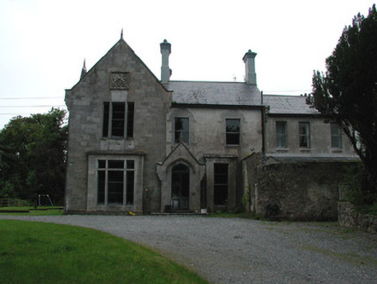 Cangort Housecountry house · 1471 yd
 Clifton Househouse · 1530 yd
 Enclosure in WingfieldEnclosure · 1.2 mi
 Cangort WoodWood · 1.6 mi
 Bawn in ShinroneBawn · 2.0 mi
 Behamore CastleCastle · 2.6 mi
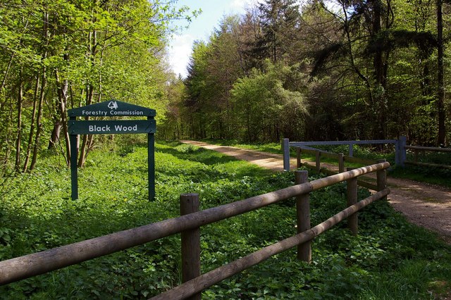 Black WoodForest · 3.9 mi
 MacDonagh HouseMemorial · 5.1 mi
 Thomas MacDonagh Heritage CentreMuseum · 5.1 mi
 Eagle HillMountain / peak · 5.1 mi
 James Devaney MemorialMemorial · 10 mi
Other information
Photo: Credit not shown in the picture search · Rights wording not checked; contact us if this picture should be removed