What is recorded here
This site is situated in pastureland which is sloping in a SW-NE direction to a stone and earthen field boundary 32m away. The site does not appear on any edition of the OS maps. It survives today as a low sub-circular rise measuring 5.6m in diameter and no more than .25m in height. The centre of this rise has been disturbed and a large amount of stones are visible. According to the landowner, Mr Dineen, until recently three small irregularly shaped uprights protruded from this rise and had 'squiggles' designs on them. No trace of these could be found. (Paddy O'Donovan)
The above description is derived from C. Toal, ‘North Kerry Archaeological Survey’. Dingle. Brandon in association with FAS Training and Employment Authority (1995), no. 852. In certain instances the entries have been revised and updated in the light of recent research.
Date of upload: 3 August 2013
The monument record does not grant public access. Check the route and ask the landowner before entering private land.
- What survives
- Recorded monument
Places near here
 CastleCastle, tower house · 562 yd
 MineMine, lead · 987 yd
 Pierce's IslandIslet · 1193 yd
 Man-made underground passage in Ardagh (clanmaurice By.)Man-made underground passage · 1.1 mi
 LismoyleArchaeological place · 1.3 mi
 Clashmealcon CavesCave · 1.3 mi
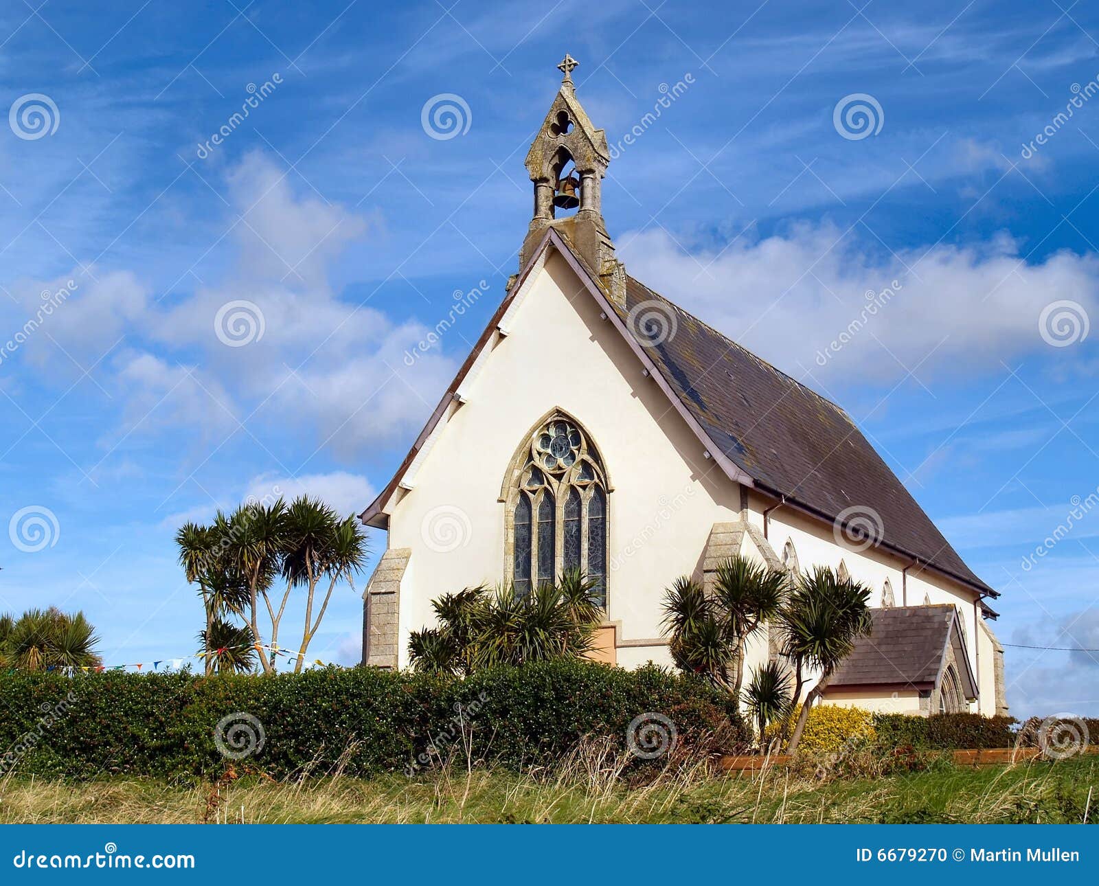 Church in Kilmore (clanmaurice By.)Church · 2.2 mi
 Inshaboy PointHeadland · 2.4 mi
 Castle Shannon (in ruins)Castle, unclassified · 2.9 mi
 Long StrandBeach / strand · 3.4 mi
 PulleenIslet · 4.1 mi
 Men's BeachBeach / strand · 4.3 mi