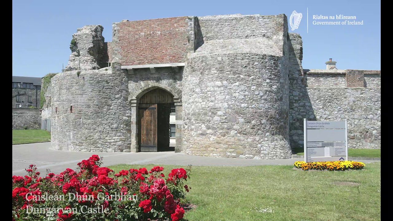
What is recorded here
Archaeological testing (98E0591) identified the foundations of a large 18th century building (ext. dims. c. 15m E-W; c. 7.5m N-S), the S wall of which at its E end overlay the S wall of an earlier building (L c. 4.5m) on a slightly different axis. Seventeenth century pottery was associated with the earlier wall, and there was a N-S stone-revetted field bank or property boundary (Wth c. 1m) just 3m to its W, with a ditch (Wth c. 2m; D c. 0.5m) on its W side, which the 18th century building overlay. (Pollock 1999a, 9-10; 2000c)
Pollock, D. (1999a) Archaeological investigations at Church Street/Parnell Street, Dungarvan, Co. Waterford (Licence 98E0591). Unpublished report, Author.
Pollock, D. (2000c) Church Street/Parnell Street, Dungarvan: Urban medieval/post-medieval. In I. Bennett (ed.) Excavations 1999. summary account of excavations in Ireland, 293, No. 845. Wordwell. Bray.
Compiled by: Michael Moore. Date of upload: 25th August, 2011.
Add the human story, a picture, a first-hand message or a missing place.
Earn 5 points after the picture is checked and accepted.
Add a pictureAdd its storyTalk or ask a questionAdd a new placeThe monument record does not grant public access. Check the route and ask the landowner before entering private land.
Conversation about this place
Questions and messages sit beneath the source record. They are checked before appearing.
No questions or messages yet.
Ask a question or join the conversation