What is recorded here
Indicated is a lost enclosure in County Mayo, Ireland, recorded on an 1838 map but no longer visible because people dug away the small gravel rise and levelled the ground. It may have crowned a natural hill, stood beside a stream, or served as a boundary marker for pasture. Its disappearance reminds us that maps preserve shapes long after human hands erase them.
In pasture, located on rising ground, with a stream at the base of slope c. 50m to N. Shown on the 1838 OS 6-inch map as semicircular area (diam. c. 30-35m N–S) of hachuring curving from N–SW, bisected slightly E of centre by a field fence on a NW-SE axis. It is shown on the 25-inch plan as a substantially raised, hachured area with a circular summit (diam. c. 25m), possibly indicating an enclosure crowning a natural hill. It is not shown on the 1930 OS 6-inch map. No visible surface trace. According to local information, a small gravel rise or hill stood at this location; it was dug away and then levelled out.
Compiled by: Jane O’ Shaughnessy
Date of upload: 4 February 2016
The monument record does not grant public access. Check the route and ask the landowner before entering private land.
- What survives
- Recorded monument
Places near here
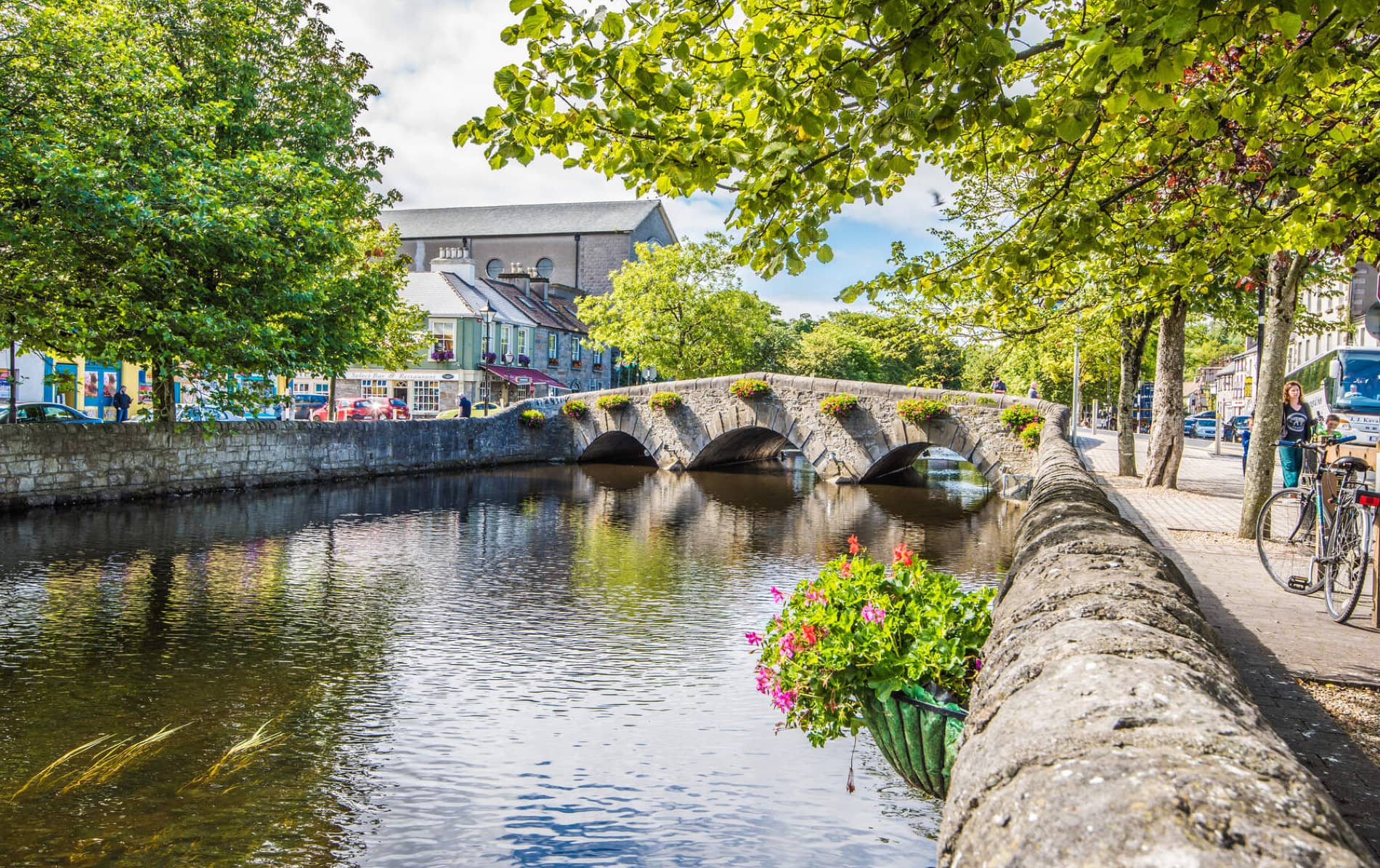 IndicatedFairy fort / earthen ringfort · 771 yd
 Enclosure in JohnsfortEnclosure · 1016 yd
 Thorn CaveCave · 1365 yd
 Kinaff Bridgebridge · 1.1 mi
 Saint Joseph's Catholic Churchchurch/chapel · 1.4 mi
 Brabazon WoodsForest · 2.8 mi
 Youth Memorial GardenMemorial · 3.0 mi
 Procession Of The SoulsMemorial · 3.2 mi
 Kiltimagh MuseumMuseum · 3.9 mi
 Castle in ruinsCastle, tower house · 4.8 mi
 HawthornHawthorn · 5.0 mi
 Bawn in ToomoreBawn · 5.8 mi