What is recorded here
Located on a general N-facing slope. Archaeological testing (04E0580) by N. Fairburn (2004) at Testing Area 7 of Contract 3 of the M3 works identified a burnt mound that was set aside for resolution as Boyerstown 8 (excavations.ie 2004:1190) and which was fully excavated (E003110) by L. Clarke (2008) over two weeks in July – August 2006 (excvatioins.ie 2006:1522). During resolution a mound was not identified, apart from two small spreads (dims 2.2m; x 0.8m; D 0.16m: 0.88-0.9m; T 0.22m) of broken and burnt stone, but a rectangular trough (dims 1.75m x 0.85m; D 0.17m) with three stake-holes in the base and six pits (dims 0.46-0.5m; D 0.13m to 34m x 1.5m; D 0.45m), all filled with broken and burn stone, were recorded. The largest pit (3.4m x 2.2m; D 0.4m) was just N of the trough, from which a sample of ash charcoal provided a C14 date of 2840-2480 cal. BC (Beta 241322). Three ditches were identified but only one (Wth 1m; D 0.6m) related to the archaeological features, curving in a U-shape (L 20.6m) through them and it contained a modest amount of burnt stone material.
See the attached plan from Clarke (2008, fig. 7)
Compiled by: Michael Moore
Date of upload: 11 April 2023
Clarke, L. 2008 M3 Clonee-North of Kells. Contract 3 – Navan Bypass. Report on the Archaeological Excavation of Boyerstown 8, Co. Meath. Licence: E003110. Final Unpublished report, Archaeological Consultancy Services
Fairburn, N. 2004 M3 Clonee-North of Kells. Contract 3 – Navan Bypass. Report on Archaeological Assessment at Testing Area 11, Ardbraccan, County Meath. Licence: 04E0584. Unpublished report, Archaeological Consultancy Services
The monument record does not grant public access. Check the route and ask the landowner before entering private land.
- What survives
- Recorded monument
Places near here
 Field boundary in ArdbraccanField boundary · 246 yd
 Enclosure in BoyerstownEnclosure · 301 yd
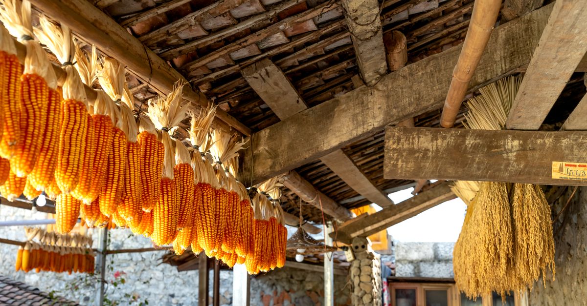 KilnKiln, corn-drying · 828 yd
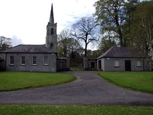 Ardbraccan National Schoolschool · 1.2 mi
 DurhamstownMountain / peak · 1.4 mi
 BohermeenMountain / peak · 1.4 mi
 The New Line RoadMemorial · 1.7 mi
 Liscartan CastleCastle, tower house · 2.0 mi
 Rathaldron Ho.Castle, tower house · 2.0 mi
 Nangle CourtMemorial · 2.6 mi
 Wych ElmWych Elm · 3.5 mi
 Fox CovertWood · 3.8 mi