What is recorded here
Gallaun is a 3.43 metre standing stone in Glanleam, County Kerry, trapped inside a much younger earthwork called Cromwell's Fort. The prehistoric upright predates the fort by millennia, creating a layered collision where ancient stone accepts a later boundary without explanation. A leaning slab now braces its base, perhaps added after Chatterton recorded the stone shaking easily in 1839. What looks like a military fort may simply be a human habit: building around whatever already stood there.
In pasture. No visible surface trace.
The above description is derived from the published 'Archaeological Inventory of County Cork. Volume 1: West Cork' (Dublin: Stationery Office, 1992). In certain instances the entries have been revised and updated in the light of recent research.
Date of upload/revision: 14 January 2009
The monument record does not grant public access. Check the route and ask the landowner before entering private land.
- What survives
- Recorded monument
Places near here
 Enclosure in Belrose UpperEnclosure · 448 yd
 Kill Burial Ground (Disused)Burial ground · 465 yd
 KilnKiln, lime · 1284 yd
 Green HillMountain / peak · 1.7 mi
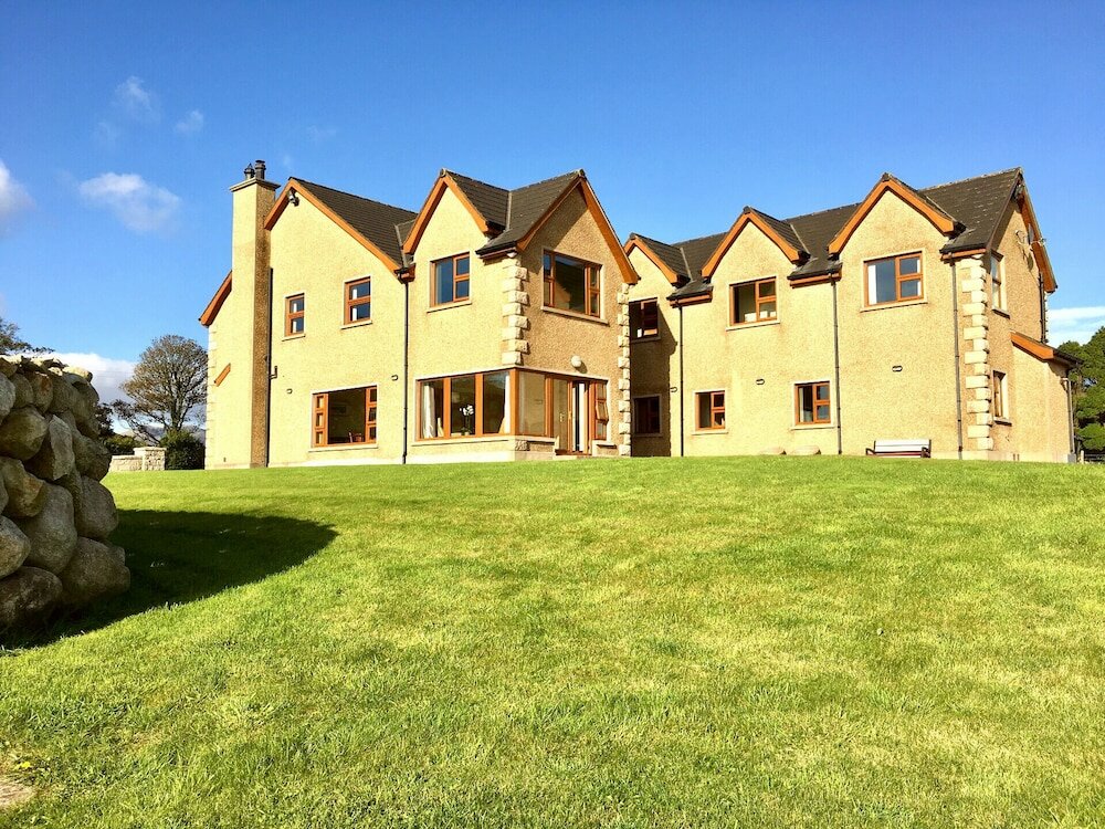 Country house in KillaneerCountry house · 1.8 mi
 Castle RockNamed rock · 3.2 mi
 Michael Collins MemorialMemorial · 3.9 mi
 The GlenWood · 4.2 mi
 Towers (in Ruins)House, fortified house · 4.5 mi
 Irish National Forestry FoundationNature reserve · 4.6 mi
 Kilmurry WoodsPicnic place · 4.7 mi
 Independence MuseumMuseum · 4.8 mi