What is recorded here
On the N outskirts of Ballina town, located at the edge of a marshy, water-logged area, with rising ground to S and W. This fulacht fia was discovered during archaeological monitoring of topsoil stripping in advance of a development project, and was subsequently fully excavated (licence no. 98E0284) in 1998 (King 1998).
It consisted of a low mound (4m N–S; 8.2m E–W; H 0.26m) of heat-shattered stones (sandstone and limestone) in a matrix of black soil and charcoal fragments. The mound had been levelled in the past, and its N extent was disturbed by modern agricultural drainage works. A trough (L 2.75m NW–SE; Wth 0.6-0.76m; max D 0.4m) was found beneath the mound. It had vertical sides and a flat base; the N edge was damaged. There were two possible postholes, one (diam. 0.3m) cut through the SW edge of the trough, and the other (diam. 0.43m) was at a distance of 0.1m from the SE edge of the trough. A roughly oval pit (L 0.9m; Wth 0.7m; D 0.46m), of unknown function, was located c. 2.5m S of the trough, just S of the edge of the mound. Another fulacht fia (MA030-102----), located 20m to NW, was also excavated. (King 1998).
Compiled by: Jane O'Shaughnessy
Date of upload: 22 July 2019
The monument record does not grant public access. Check the route and ask the landowner before entering private land.
- What survives
- Recorded monument
Places near here
 The Marshall Doran CollectionGallery · 897 yd
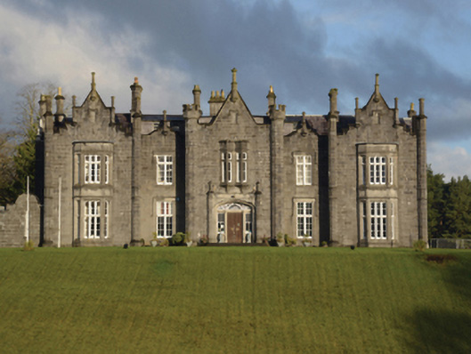 Belleek Manorcountry house · 909 yd
 Church in ruinsChurch · 990 yd
 Knox Gore MonumentMonument · 1039 yd
 Cross in Ballina (tirawley By.)Cross · 1079 yd
 Belleek WoodsWood · 1092 yd
 Belleck CastleCastle, unclassified · 1297 yd
 FloretteWreck · 1418 yd
 Humbert MonumentMemorial · 1455 ydBattle of Ballinabattle · 1676 yd
 CastleCastle, unclassified · 1.1 mi
 Rinphilip PointHeadland · 1.9 mi