What is recorded here
Excavated by Brian Halpin (02E0750) when 'topsoil-stripping of Bord Gáis Éireann's Pipeline to the West uncovered a spread of burnt material associated with fulacht fiadh activity. This site, a thin spread of charcoal-rich material with heat-shattered stone, was partially exposed at the edge of the pipeline corridor and measured c. 10m in diameter. No trough or other features were encountered. A small stream lying c. 6m to the west of the site continually flooded the area, making excavation extremely difficult.' Grogan, E., O’Donnell, L. & Johnston, P. (2007) The Bronze Age Landscapes of the Pipeline to the West, Wordwell, p258.
Compiled by: Denis Power
Date of Upload: 3 August 2012
The monument record does not grant public access. Check the route and ask the landowner before entering private land.
- What survives
- Recorded monument
Places near here
 Fulacht fia in BaunreaghFulacht fia · 19 yd
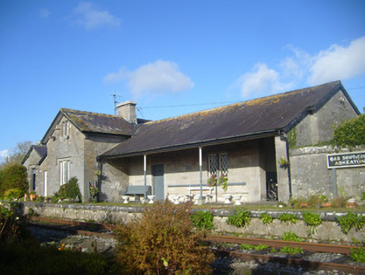 Askeaton Railway Stationrailway station, water tower, water pump · 1030 yd
 Ballycullen Housecountry house · 1127 yd
 Lismakeery Castle (in ruins)Castle, tower house · 1305 yd
 Fulacht fia in LismakeeryFulacht fia · 1409 yd
 Askeaton CastleHeritage attraction · 1.2 mi
 Milltown Castle (in ruins)Castle, tower house · 1.3 mi
 Holly IslandIslet · 2.3 mi
 Herring RockNamed rock · 4.2 mi
 Tummera LittleIslet · 4.2 mi
 Aughinish PointHeadland · 4.6 mi
 TobernablahySpring · 4.7 mi