What is recorded here
On a gently sloping terrace, on the very steep W side of a N-S valley, at 700 feet. Mostly rough pasture on the valley sides. Good views to N, E and S but poor up hill to W. A small roughly circular enclosure (diam. c. 13m) defined by a degraded earthen bank (Wth 1.75m; int. H 0.3-0.5m; ext. H 0.5-1m) planted with thorn bushes. The flat interior, slopes to the E and is very wet and cattle trampled. There is a gap (Wth 3m) in the W quadrant which may be the original entrance.
Compiled by: Jean Farrelly
Date of upload: 24 February 2016
The monument record does not grant public access. Check the route and ask the landowner before entering private land.
- What survives
- Recorded monument
Places near here
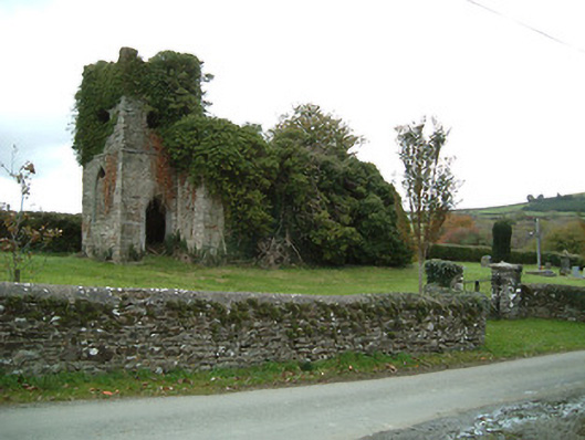 Freneystown Church (Tiscoffin)church/chapel · 1718 yd
 St. Scoheens WellHoly well · 1750 yd
 Site of Tiscoffin ChurchChurch · 1.0 mi
 Saint Scuithin's Catholic Churchchurch/chapel · 1.0 mi
 Freneystown CastleCastle, tower house · 1.3 mi
 St. Mogarra’s WellSpring · 1.7 mi
 Clara CastleCastle, tower house · 1.9 mi
 HawthornHawthorn · 2.8 mi
 The CummerForest · 2.9 mi
 Jurassic NewparkHeritage attraction · 5.3 mi
 Kilkenny AFC & Kilkenny & District Soccer LeagueMemorial · 5.4 mi
 Stephens Barracks MuseumMuseum · 5.5 mi