What is recorded here
On summit of Knockillon Hill, just below the 402 ft. trig. station to SW. Cairn (TS075-064----) visible on summit of hill 6.4km to SW. Enclosure (TS075-017002-) located immediately SE of mound. Mound (dims. crest 6.6m N-S; 7.4m E-W; dims. base 13m N-S and E-W; H 1.26-1.83m E and S sides respectively) has been dug into at top giving a hollowed-out appearance at summit. Composed of clay with some stones and gravel. Mound is grass and nettle covered though the NE slope is partially eroded by animals. No visible trace of external fosse in N and W quadrants, however there is a slight depression (Wth 1.6m) in the E quadrant, obscured by dead wood and nettles, between the mound and the adjacent enclosure.
Compiled by: Jean Farrelly
Date of upload: 26 August 2011
Mound barrow, likely dating to the Early Bronze Age. Its location on a prominent hill summit suggests ritual or territorial significance.
This remains an important historical record, but the official description says the monument is no longer visible or has been destroyed. The monument record does not grant public access. Check the route and ask the landowner before entering private land.
- What survives
- No visible remains or recorded as destroyed
Places near here
 Enclosure in KnockgraffonEnclosure · 16 yd
 LisheenEnclosure · 917 yd
 Knockgraffon CastleCastle · 1390 yd
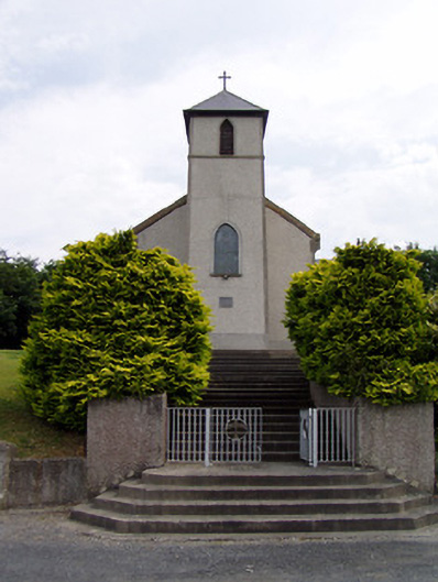 Saint Bartholomew's Catholic Churchchurch/chapel · 1512 yd
 Knockgraffon Church (in ruins)Church · 1.1 mi
 Knockgraffon MoatCastle, motte and bailey · 1.2 mi
 Caucasian zelkovaCaucasian zelkova · 3.2 mi
 Caher AbbeyHeritage attraction · 3.3 mi
 Siege of Cahir Castlesiege · 3.5 miCahir CastleHeritage attraction · 3.7 mi
 Cappa WoodWood · 3.9 mi
 Slieveanard NE TopMountain / peak · 4.0 mi