What is recorded here
RATH stands in Barnamaghery, County Down, still marked as a rath and nothing more. The name resists explanation, refusing to become a castle, chapel or field. That vacancy is not a failure, but an invitation to picture the shape of the missing place.
The official Northern Ireland record identifies this as RATH. Recorded period: E.CHRIST.. The official map point was placed at the centre of the recorded archaeological site from the source map reference.
The monument record does not grant public access. Check the route and ask the landowner before entering private land.
- What survives
- Recorded monument
Places near here
 ENCLOSURE in AughnadarraghENCLOSURE · 350 yd
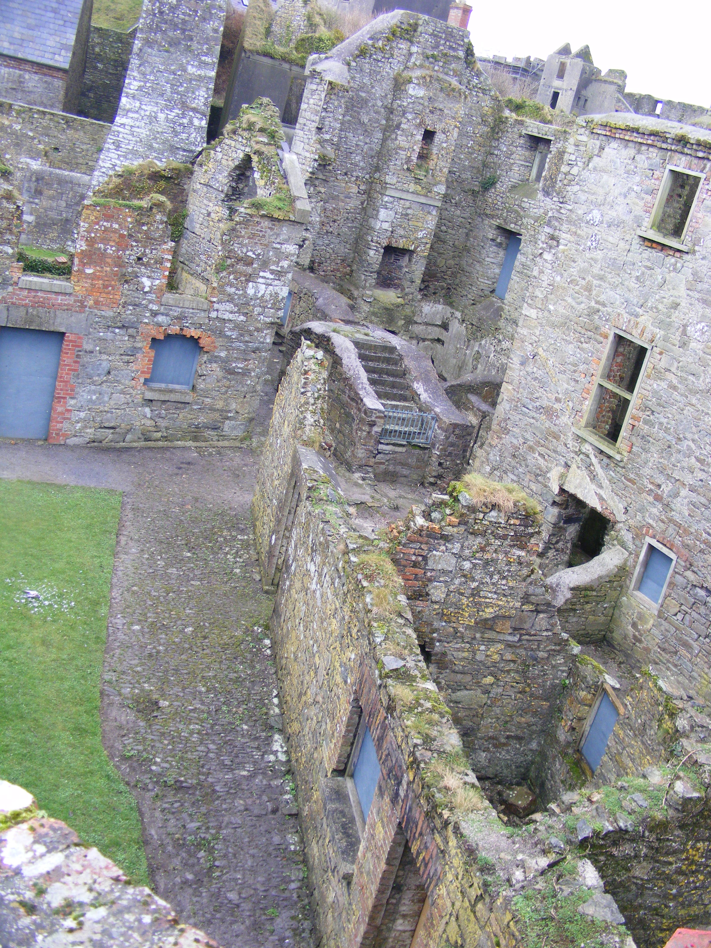 ENCLOSURE: CURLEY'S FORT in BarnamagheryENCLOSURE: CURLEY'S FORT · 761 yd
 Raffrey Presbyterian ChurchChurch · 1.4 mi
 Glasswater WoodWood · 2.1 mi
 RowallaneOffice · 2.2 mi
 Battle of Saintfield (1798)Battlefield · 2.7 mi
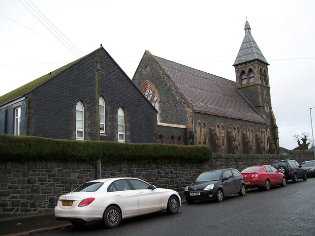 The Square Car ParkVisitor information · 3.2 mi
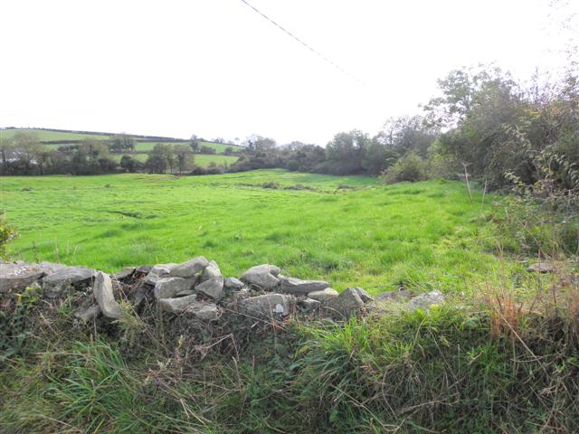 Wallace HillMountain / peak · 4.7 mi
 ShrigleyVisitor information · 5.0 mi
 Battle of Ballynahinchbattle · 5.3 mi
 Windmill Hill WoodWood · 5.3 mi
 Windmill HillMountain / peak · 5.3 mi