What is recorded here
Fairy fort / earthen ringfort in Ballysumaghan is a fairy fort or earthen ringfort in Ballysumaghan, County Sligo, Ireland. It occupies the level summit of a narrow ridge and preserves a raised circular area twenty-two metres across. Two earthen banks and an intervening fosse define the structure, while rushes grow in the widest part of the ditch and hawthorn bushes surround the perimeter.
On the level summit of a narrow ridge. A raised circular area (diam. 22m) defined by the remains of two earthen banks and an intervening fosse. The inner bank (int. H 0.4m) is only evident W-N, elsewhere the interior is defined by a scarp (H c. 1.1m). The intervening fosse is evident W-ESE, it is widest (Wth 7m) at NE and narrowest (Wth 2m) at NW; rushes grow in the widest part. An arc of a possible outer bank (Wth 4m; int. H 0.6m; ext. H 0.5m) is evident NE-E. Some hawthorn bushes grow around the perimeter of the rath.
The above description is derived from the published 'Archaeological Inventory of County Sligo' compiled by Ursula Egan, Elizabeth Byrne, Mary Sleeman with Sheila Ronan and Connie Murphy (Dublin Stationery Office, 2005).
Date of upload: 18 January 2008
The monument record does not grant public access. Check the route and ask the landowner before entering private land.
- What survives
- Recorded monument
Places near here
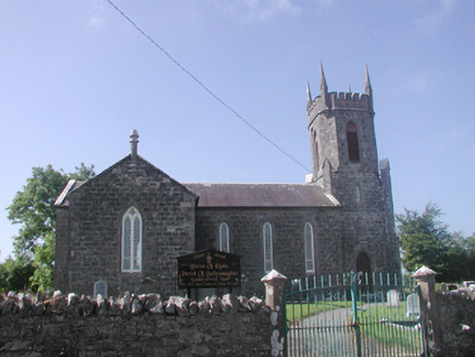 Ballysumaghan Churchchurch/chapel · 232 yd
 Castle Neymoecountry house · 376 yd
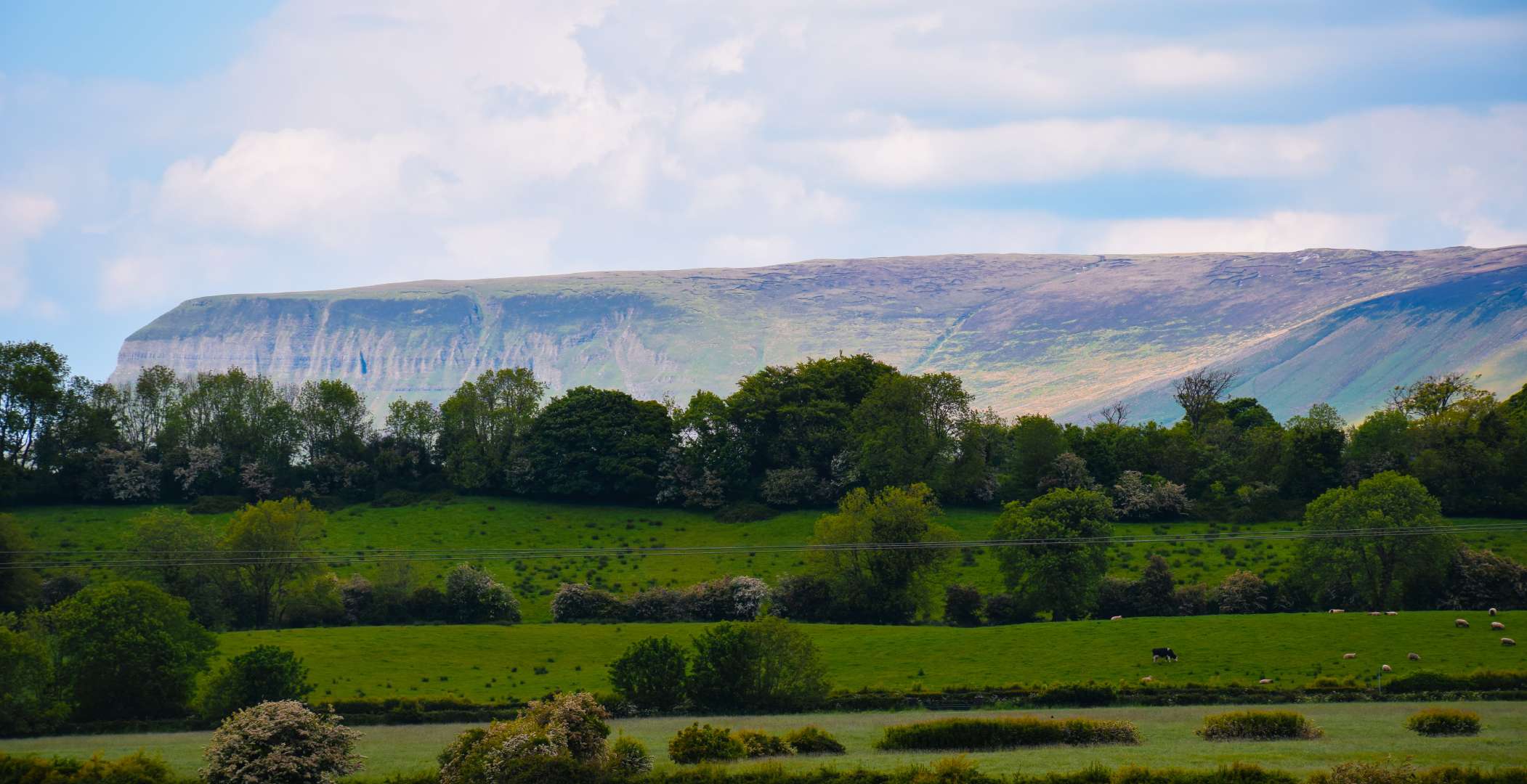 IndicatedFairy fort / earthen ringfort · 581 yd
 Hut site in ArdleebegHut site · 637 yd
 Giants GraveArchaeological place · 1.3 mi
 Drumcondra Castle (in Ruins)Castle, tower house · 1.5 mi
 CastleCastle, motte · 1.5 mi
 Field MapleField Maple · 2.6 mi
 European ashEuropean ash · 3.1 mi
 Riverstown Folk ParkHeritage attraction · 3.3 mi
 James MorrisonMemorial · 3.5 mi
 Battle of Collooneybattle · 4.1 mi