What is recorded here
A large moated site (WI040-028----) is shown on the 1838 OS 6-inch map, with a large T-shaped house towards the E side, marked 'Site of a Building'. The moated site was destroyed in 1971. Barry suggested it may have been a medieval manor house (OPW and NMI Correspondence).
The above description is derived from the published 'Archaeological Inventory of County Wicklow' (Dublin: Stationery Office, 1997). In certain instances the entries have been revised and updated in the light of recent research.
Date of upload/revision: 17 December 2008
This monument is subject to a preservation order made under the National Monuments Acts 1930 to 2014 (PO no. 103/1940).
This remains an important historical record, but the official description says the monument is no longer visible or has been destroyed. The monument record does not grant public access. Check the route and ask the landowner before entering private land.
- What survives
- No visible remains or recorded as destroyed
Places near here
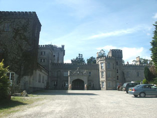 Glenart Castlecountry house · 1014 yd
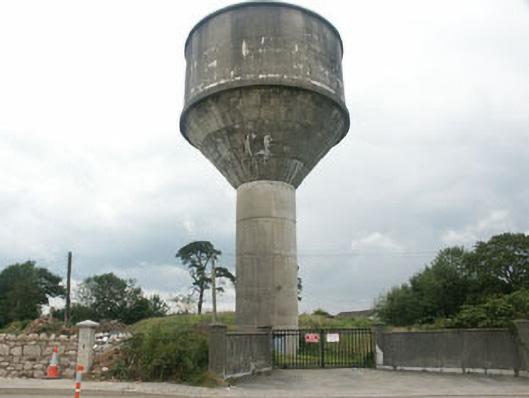 water towerwater tower · 1173 yd
 TuliptreeTuliptree · 1601 yd
 European YewEuropean Yew · 1641 yd
 Battle of Arklowbattle · 1.0 mi
 Castle (in ruin)Castle, Anglo-Norman masonry castle · 1.1 mi
 Font in Kilbride (arklow By., Kilbride Ed)Font · 1.3 mi
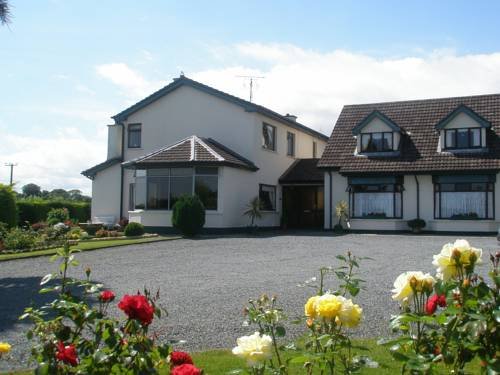 Enclosure in BallygriffinEnclosure · 1.3 mi
 South BeachBeach / strand · 2.1 mi
 The CoveBeach / strand · 2.2 mi
 Arklow RockMountain / peak · 2.7 mi
 Woodenbridge World War One MemorialMemorial · 2.9 mi