What is recorded here
In pasture, located on a rise. Shown on the 1838 OS 6-inch map as a circular, ringfort-sized enclosure (diam. c. 25m), bisected slightly N of centre by a field boundary on a ENE–WSW axis, from which an second field boundary extended N through the NE quadrant of the interior. It is not shown on later map editions.
At the location there is a drumlin-like rise across which an earth and stone field fence extends on a ENE-WSW axis. The enclosure is likely to have encompassed this natural rise, but no trace of any enclosing element is now evident. There is a rath (MA038-113----) c. 100m to NE.
Compiled by: Jane O'Shaughnessy
Date of upload: 9 August 2019
The monument record does not grant public access. Check the route and ask the landowner before entering private land.
- What survives
- Recorded monument
Places near here
 Enclosure in BallymoyockEnclosure · 475 yd
 Ballyduffy CastleCastle, unclassified · 1324 yd
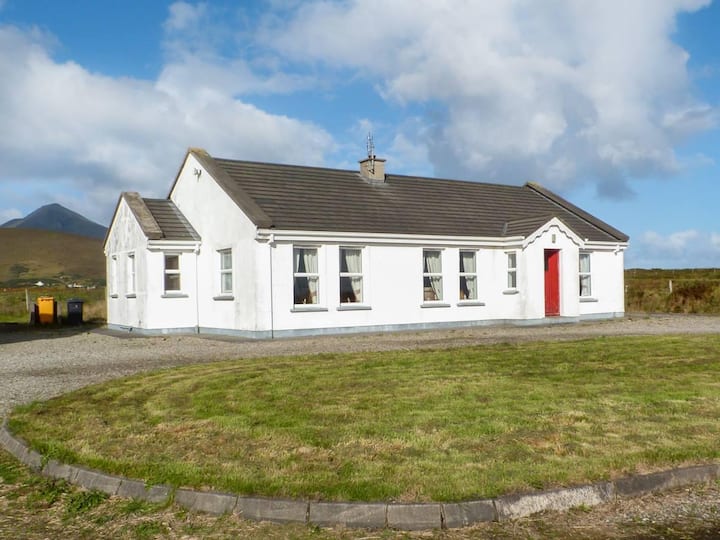 Enclosure in BallyvicmahaEnclosure · 1473 yd
 Titanic Memorial ParkMemorial · 1.5 mi
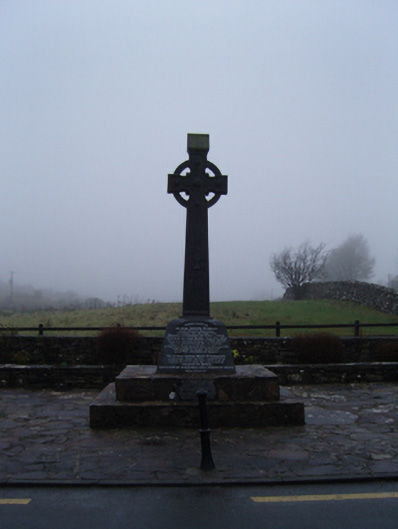 1798 Monumentmonument · 1.5 mi
 CastleCastle, unclassified · 1.6 mi
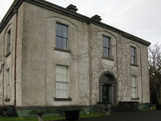 Castlehill Housefarm house · 1.6 mi
 NephinMountain / peak · 2.2 mi
 Grave of the KingsArchaeological place · 2.4 mi
 Castle IslandIslet · 3.1 mi
 Roe IslandIslet · 3.3 mi
 KnockaffertaghMountain / peak · 5.8 mi