What is recorded here
Ordnance Survey mapped the claim but never found the stone, leaving a ghost marker in Ballymartin. The absence is the proof: human memory claimed the stone existed before survey boots verified it. That is rarer and more interesting than a stone still standing.
The official Northern Ireland record identifies this as STANDING STONE (O.S. memoir site, unlocated). Recorded period: PREHISTORIC; UNCERTAIN. The official map point was placed at the centre of the recorded archaeological site from the source map reference.
The monument record does not grant public access. Check the route and ask the landowner before entering private land.
- What survives
- Recorded monument
Places near here
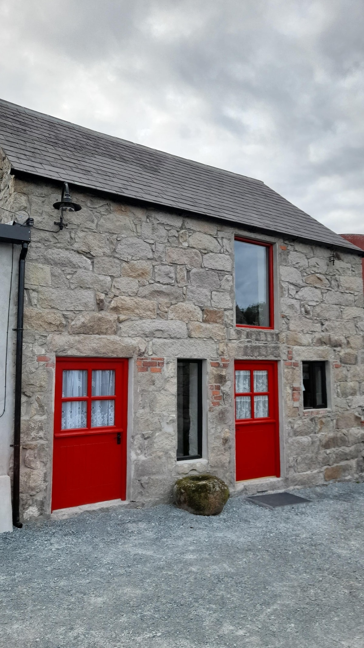 ENCLOSURE in BallymartinENCLOSURE · 375 yd
 ENCLOSURE in Ballymartin; KilgreelENCLOSURE · 1063 yd
 Patterson's Spade MillMill · 1443 yd
 Templepatrick Railway StationHouse · 1.2 mi
 C17th CASTLE on MONASTIC SITE : ORDER of ST. JOHN OF JERUSALEM, UPTON CASTLE, UPTON MAUSOLEUM, HUGH DE LOGAN'S TOWN in TemplepatrickC17th CASTLE on MONASTIC SITE : ORDER of ST. JOHN OF JERUSALEM, UPTON CASTLE, UPTON MAUSOLEUM, HUGH DE LOGAN'S TOWN · 1.5 mi
 Castle UptonCastle · 1.5 mi
 Sentry Hill Historic HouseMuseum · 3.3 mi
 Squires HillMountain / peak · 5.1 mi
 1971 Scottish soldiers' killingsmurder · 5.1 mi
 Bellevue Area of Special Scientific InterestCliff · 5.3 mi
 Cave Hill TrailWalking route · 5.6 mi
 CavehillMountain / peak · 5.6 mi