What is recorded here
The official Northern Ireland record identifies this as C17TH SETTLEMENT SITE. Recorded period: C17TH; POST-MED. The official map point was placed at the centre of the recorded archaeological site from the source map reference.
The monument record does not grant public access. Check the route and ask the landowner before entering private land.
- What survives
- Recorded monument
Places near here
_-_geograph.org.uk_-_5930075.jpg?width=1280) 34 The MountHouse - Terrace · 261 yd
34 The MountHouse - Terrace · 261 yd_-_geograph.org.uk_-_5930088.jpg?width=1280) 32 The MountHouse - Terrace · 271 yd
32 The MountHouse - Terrace · 271 yd Battle of St Matthew'sMajor battlefield · 907 yd
 Millennium MilepostVisitor information · 994 yd
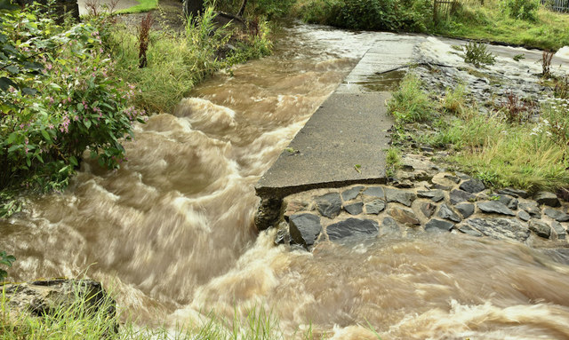 The HollowWood · 1066 yd
 Rose & Crown Bar bombingbomb attack · 1513 yd
 SSE ArenaHeritage attraction · 1605 yd
 The Dome at Victoria SquareViewpoint · 1631 yd
 Francis Calder Commemorative FountainHeritage attraction · 1690 yd
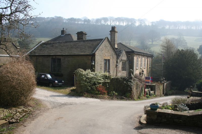 MEDIEVAL & EARLIER CHURCH SITE: CHAPEL OF THE FORD in Town ParksMEDIEVAL & EARLIER CHURCH SITE: CHAPEL OF THE FORD · 1758 yd
 Titanic MemorialMonument · 1.0 mi
 William James PirrieMemorial · 1.0 mi