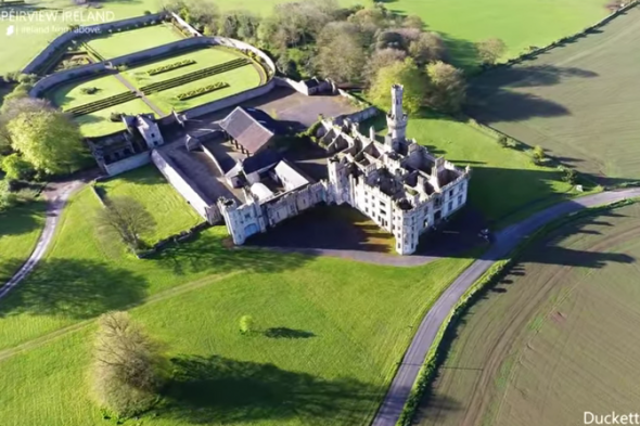
What is recorded here
Identified as a cropmark on the 2005 OSI orthphotos, in tillage. A circular enclosure (diam. c. 69m) defined by a fosse. There is two other similarly sized enclosures (CW012-210----; CW012-211----) c. 230m and c. 330m to the ENE.
Compiled by: Claire Breen and Jean Farrelly
Date of revised upload: 28 August 2018
The monument record does not grant public access. Check the route and ask the landowner before entering private land.