What is recorded here
Indicated is a lost ringfort in County Mayo, Ireland, where a circular enclosure and underground passage once challenged the pasture above. The land has been levelled, erasing the visible boundary and forcing imagination to complete what measurement already captured.
In reclaimed pasture. Shown on OS 6-inch maps (1838; 1929) as circular enclosure (diam. c. 40m) with Man-made underground passage (MA121-075002-). Levelled; no visible surface traces.
The above description has been derived from D. Lavelle (compiler), An Archaeological Survey of Ballinrobe and District including Lough Mask and Lough Carra. Lough Mask and Lough Carra Tourist Development Association (1994), No. 98.
The monument record does not grant public access. Check the route and ask the landowner before entering private land.
- What survives
- Recorded monument
Places near here
 IndicatedFairy fort / earthen ringfort · 342 yd
 Enclosure in Ballyhenry OR CaraunEnclosure · 611 yd
 Bawn in Cregduff (kilmaine By., Kilmainemore Par.)Bawn · 975 yd
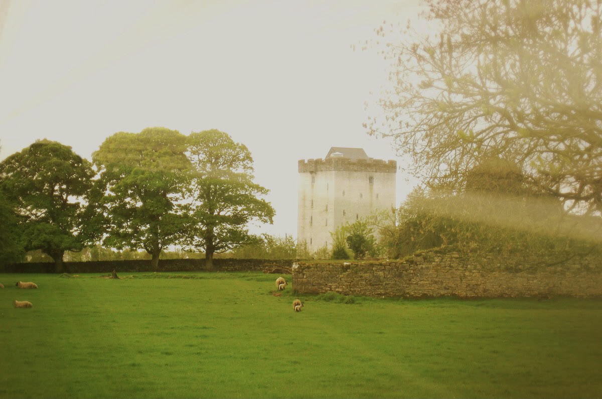 Castle in ruinsCastle, tower house · 1635 yd
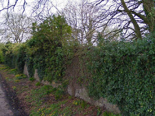 Turin Housewalled garden · 1673 yd
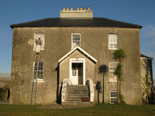 rectory/glebe/vicarage/curate's houserectory/glebe/vicarage/curate's house · 1676 yd
 Cregg PlantationForest · 2.4 mi
 European YewEuropean Yew · 2.5 mi
 Gibbs IslandsIslet · 5.5 mi
 Red Island RockIslet · 6.2 mi
 School of FalconryHeritage attraction · 7.5 mi
 Mass RockNamed rock · 7.9 mi