What is recorded here
Ballygomartin holds a rath, an ancient fortified place marked on the official map and protected as a scheduled site. The stones and earth may have served people long before written records, providing shelter or status during the early Christian period. That much is clear from the designation and location. What is less certain is whether the rath belonged to a farmer, a warrior or a priest, and whether it was abandoned gradually or lost suddenly. The name and marker preserve the shape of that uncertainty instead of pretending the story is complete.
The official Northern Ireland record identifies this as RATH. Recorded period: E.CHRIST.. Recorded protection: Scheduled. The official map point was placed at the centre of the recorded archaeological site from the source map reference.
The monument record does not grant public access. Check the route and ask the landowner before entering private land.
- What survives
- Recorded monument
Places near here
 A.P. SITEA.P. SITE, circular enclosure · 175 yd
 SQUARE ENCLOSURE & FIELD BANKS in BallymagarrySQUARE ENCLOSURE & FIELD BANKS · 1148 yd
 Ballysillan Presbyterian ChurchChurch · 1360 yd
 Black MountainMountain / peak · 1451 yd
 DivisMountain / peak · 1.1 mi
 Possible bawn site in OldparkPossible bawn site · 1.2 mi
 Holy Cross ChurchChurch · 1.3 mi
 1971 Scottish soldiers' killingsmurder · 1.3 mi
 Springhill Massacremass shooting · 1.4 mi
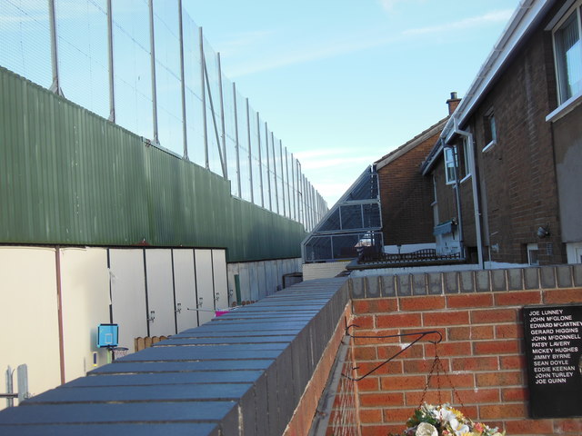 Clonard Martyrs MemorialMemorial · 1.8 mi
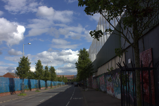 Peace WallHeritage attraction · 1.8 mi
 Limestone QuarryCliff · 2.2 mi