What is recorded here
Located in a forestry plantation along the E summit of Three Rock Mountain. An enclosure comprising of a roughly circular area (int. dims. 12m) defined by an earth and stone bank (Wth 2m; H 1.2m). No entrance or internal features were apparent. It is accessible from a forest track that runs by the NW side of the enclosure. It is planted with mature trees. This is the most W example of three enclosures (DU025-028002-, DU025-028001-) shown on the 1843 OS 6-inch map.
Compiled by: Geraldine Stout and Padraig Clancy
Revised upload on: 8 July 2018
The monument record does not grant public access. Check the route and ask the landowner before entering private land.
- What survives
- Recorded monument
Places near here
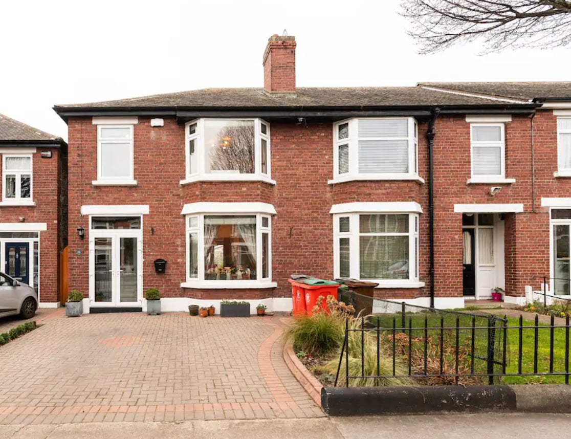 Enclosure in BallyedmonduffEnclosure · 60 yd
 Three Rock MountainMountain / peak · 602 yd
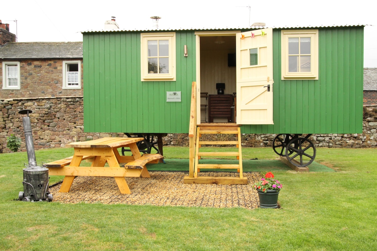 Hut site in BallyedmonduffHut site · 651 yd
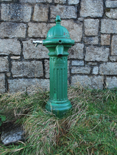 water pumpwater pump · 858 yd
 post boxpost box · 953 yd
 Ballyedmonduff ForestForest · 1099 yd
 Native WoodlandWood · 1442 yd
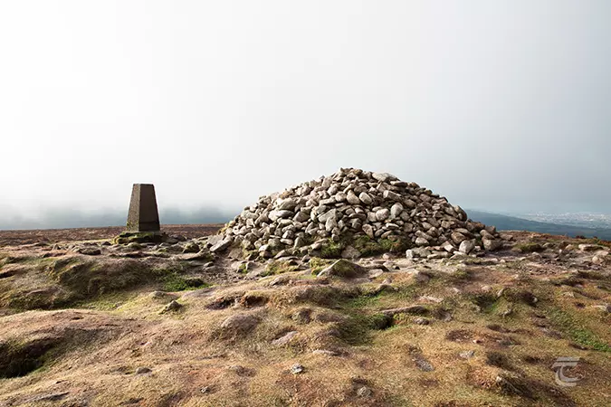 Ticknock - Fairy Castle LoopWalking route · 1516 yd
 Dublin Mountains WayWalking route · 1596 yd
 Two Rock MountainMountain / peak · 1609 yd
 Explorium: National Sport and Science CentreMuseum · 1.4 mi
 Calbeck CastleRuins · 1.4 mi