What is recorded here
Situated on the steep E facing slopes of Three Rock Mountain. Marked as two roughly circular enclosures defined by closely set stones on the 1843 OS 6-inch map. (diams. c. 22m and c. 30m respectively). Both sites are in forestry. Not visible at ground level.
Compiled by: Geraldine Stout and Padraig Clancy
Revised upload on: 28 July 2018
The monument record does not grant public access. Check the route and ask the landowner before entering private land.
- What survives
- Recorded monument
Places near here
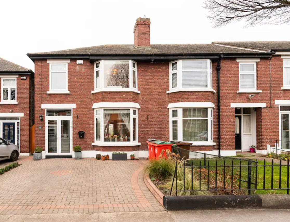 Enclosure in BallyedmonduffEnclosure · 275 yd
 Three Rock MountainMountain / peak · 523 yd
 post boxpost box · 745 yd
 Enclosure in BarnaculliaEnclosure · 773 yd
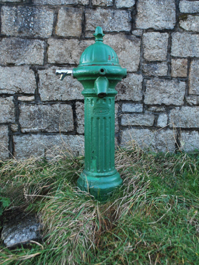 water pumpwater pump · 1079 yd
 Ballyedmonduff ForestForest · 1217 yd
 Native WoodlandWood · 1268 yd
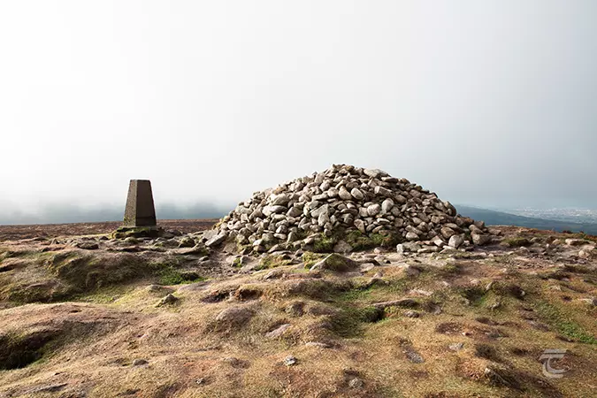 Ticknock - Fairy Castle LoopWalking route · 1423 yd
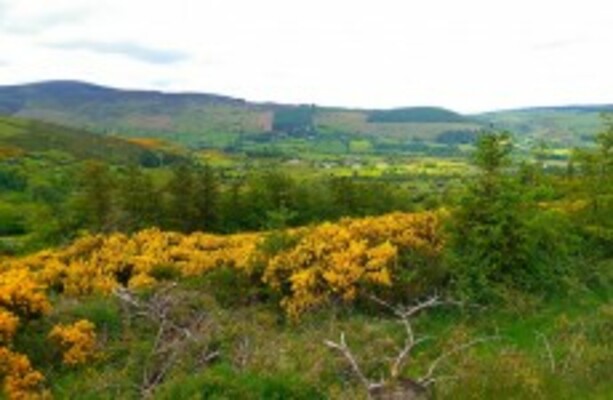 Dublin Mountains WayWalking route · 1458 yd
 Two Rock MountainMountain / peak · 1636 yd
 Explorium: National Sport and Science CentreMuseum · 1.3 mi
 Calbeck CastleRuins · 1.3 mi