What is recorded here
Fairy forts are not for us. They belong to the old ones, the hidden people, the ones who do not want to be seen. That is all. Clean it, protect it, leave it alone. If you must touch it, ask first. Not for show. Ask because they are still there.
In pasture, on gentle E-facing slope. Roughly circular area (30m N-S; 26m E-W) defined by earthen bank (int. H 1.2m) NE->SSE, incorporated into field fence system; low rise (H 0.3m) elsewhere.
The above description is derived from the published 'Archaeological Inventory of County Cork. Volume 2: East and South Cork' (Dublin: Stationery Office, 1994). In certain instances the entries have been revised and updated in the light of recent research.
Date of upload/revision: 14 January 2009
The monument record does not grant public access. Check the route and ask the landowner before entering private land.
- What survives
- Recorded monument
Places near here
 Moated site in Ballybride UpperMoated site · 1158 yd
 Grave YdGraveyard · 1608 yd
 Quarry in CarrigmoreQuarry · 1.1 mi
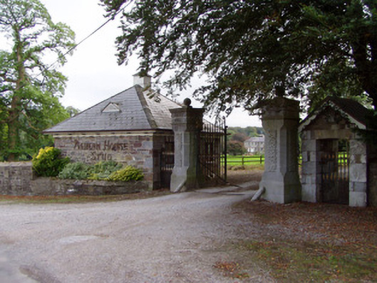 Aghern Housedemesne walls/gates/railings · 1.1 mi
 Aghern CastleCastle · 1.3 mi
 Aghern CemeteryWood · 1.4 mi
 Conna Castle (in Ruins)Castle, tower house · 1.7 mi
 Castlebrook forestWood · 2.0 mi
 Graveyard in Curraheen (kinnatalloon By.)Graveyard · 2.4 mi
 Natural heritage of CoolagowanVisitor information · 2.5 mi
 Life Space ParkPicnic place · 2.6 mi
 Saint Micheal's Holy WellSpring · 4.1 mi