What is recorded here
There are three armorial plaques (DG070-003009-/010-/011-) built into the E side of the Palace (DG070-003003-); one in the N wall of the SE tower, the second in the S wall of the NE tower and the third (the Leslie Coat of Arms) in the E face of the latter tower. Beaufort noted a fourth armorial plaque (DG070-003012-) when he visited the Palace in 1787 (1787, fol. 17); it is probably that which is now in the front garden of a house in William Street in Raphoe.
The above description was derived from the 'Archaeological Survey of County Donegal. A description of the field antiquities of the County from the Mesolithic Period to the 17th century.' Compiled by: Brian Lacey with Eamon Cody, Claire Cotter, Judy Cuppage, Noel Dunne, Vincent Hurley, Celie O'Rahilly, Paul Walsh and Seán Ó Nualláin (Lifford: Donegal County Council, 1983). In certain instances the entries have been revised and updated.
Date of upload/revision: 15 December 2011
The monument record does not grant public access. Check the route and ask the landowner before entering private land.
- What survives
- Recorded monument
Places near here
 PalaceHouse, fortified house · 2 yd
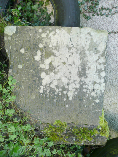 unknown, monumentunknown, monument · 57 yd
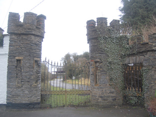 Church of Ireland Bishop’s Palacegates/railings/walls, demesne walls/gates/railings · 121 yd
 Raphoe Cathedral Carved LintelStone sculpture · 139 yd
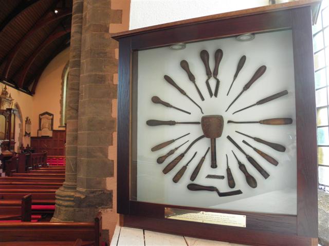 Cathedral in Raphoe TownparksCathedral · 139 yd
 Mongorry HillMountain / peak · 1.7 mi
 Feddyglass WoodWood · 2.8 mi
 Carnowen HillMountain / peak · 3.3 mi
 CastleCastle, unclassified · 3.8 mi
 BATTLE SITE: BATTLE OF THE FORDS, Central crossing, 1689 in Magirr; Town Parks OF StrabaneBATTLE SITE: BATTLE OF THE FORDS, Central crossing, 1689 · 5.5 mi
 Lurgybrack Open FarmHeritage attraction · 5.8 mi
 Dry Arch MonumentHeritage attraction · 6.2 mi