What is recorded here
Rath appears repeatedly across County Armagh, marking hidden forts, burial mounds and occupied grounds rather than one single destination. Some rath still stands near Ballinan or Ballygorman, while others lie beside souterrains, cashels or cairns, suggesting that people kept returning to these raised places for shelter, ceremony or memory. The name itself has become a local container, holding several forgotten lives inside one word.
Rath is recorded as a archaeological place in County Armagh. Its open map record supplies this location and any linked names or public references.
Places near here
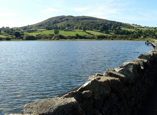 Sturgan MountainMountain / peak · 669 yd
 Sugarloaf HillMountain / peak · 847 yd
 ENCLOSURE in CarrickcroppanENCLOSURE · 1.2 mi
 ENCLOSURE in Carrickcloghan; EshwaryENCLOSURE · 1.3 mi
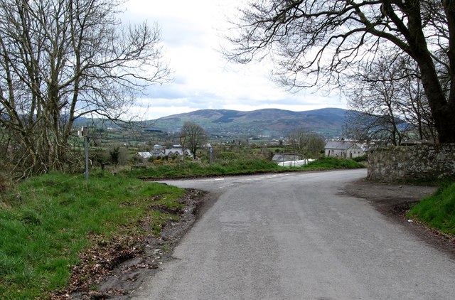 Killevy Churches AONB SignVisitor information · 2.3 mi
 EARLY CHRISTIAN & MEDIEVAL CHURCHES, GRAVEYARD, AUGUSTINIAN NUNNERY & ROUND TOWER: KILLEVY CHURCHES in BallintempleEARLY CHRISTIAN & MEDIEVAL CHURCHES, GRAVEYARD, AUGUSTINIAN NUNNERY & ROUND TOWER: KILLEVY CHURCHES · 2.3 mi
 Killevy ChurchesVisitor information · 2.3 mi
 St Moninna's WellSpring · 2.3 mi
 Church of SS Peter and PaulChurch · 2.5 mi
 Christ ChurchChurch · 2.5 mi
 Ring of GullionRing of hills and protected landscape · 2.6 mi
 War MemorialMonument · 2.7 mi